
| Prel. Rep. | Date | Time(UTC) | Time(Local) | Lat. | Lon. | Depth | Mag. | Region | Waveform |
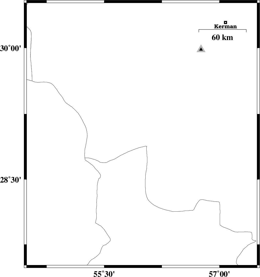
| 2015/01/21 | 06:38:56.2 | 10:08:56.2 | 29.01 | 55.99 | 17 | ML:3.1 | Kerman Province, 57 km South-East of Sirjan | ||
| 2015/01/18 | 09:09:28.5 | 12:39:28.5 | 30.34 | 57.42 | 14 | ML:3.4 | Kerman Province, 33 km East of Kerman | ||
| 2015/01/16 | 09:20:41.3 | 12:50:41.3 | 30.35 | 57.48 | 18 | ML:3.4 | Kerman Province, 39 km East of Kerman | ||
| 2015/01/16 | 06:58:08.9 | 10:28:08.9 | 30.31 | 57.44 | 14 | ML:3 | Kerman Province, 35 km East of Kerman | ||
| 2015/01/16 | 06:43:04.0 | 10:13:04.0 | 30.3 | 57.45 | 14 | ML:2.4 | Kerman Province, 36 km East of Kerman | ||
| 2015/01/16 | 06:31:14.4 | 10:01:14.4 | 30.33 | 57.42 | 14 | ML:2.6 | Kerman Province, 33 km East of Kerman |