
| Prel. Rep. | Date | Time(UTC) | Time(Local) | Lat. | Lon. | Depth | Mag. | Region | Waveform |
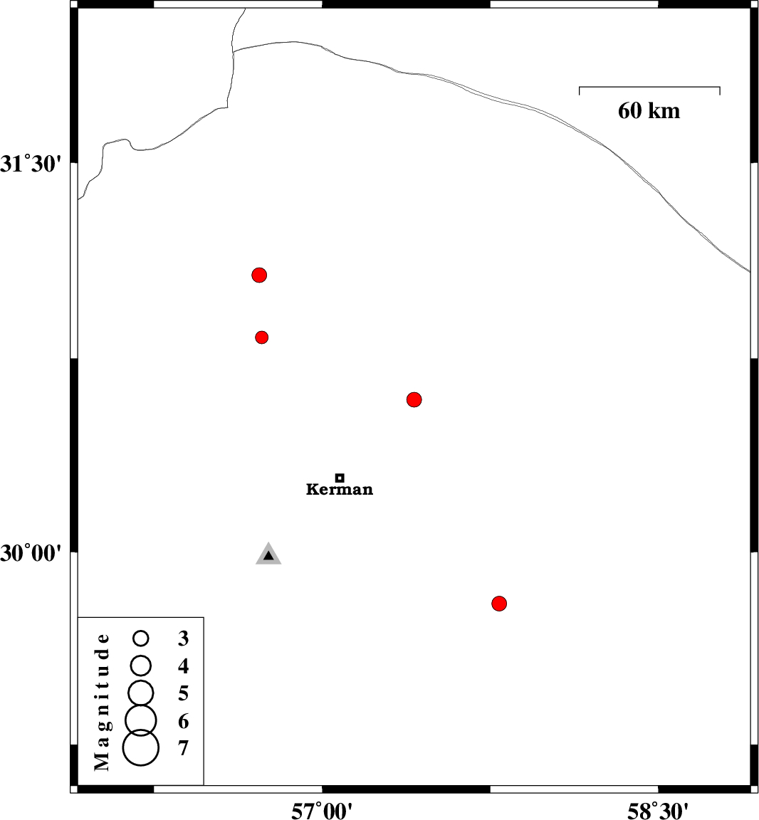
| 2013/03/13 | 09:16:47.3 | 12:46:47.3 | 30.59 | 57.41 | 14 | ML:2.9 | Kerman Province, 46 km North-East of Kerman | ||
| 2013/03/11 | 13:30:43.4 | 17:00:43.4 | 29.8 | 57.79 | 14 | ML:3 | Kerman Province, 126 km North of Jiroft | ||
| 2013/03/07 | 14:18:11.8 | 17:48:11.8 | 30.83 | 56.73 | 14 | ML:2.5 | Kerman Province, 15 km East of Zarand | ||
| 2013/03/06 | 19:29:19.1 | 22:59:19.1 | 31.07 | 56.72 | 18 | ML:2.9 | Kerman Province, 24 km South of Ravar |