
| Prel. Rep. | Date | Time(UTC) | Time(Local) | Lat. | Lon. | Depth | Mag. | Region | Waveform |
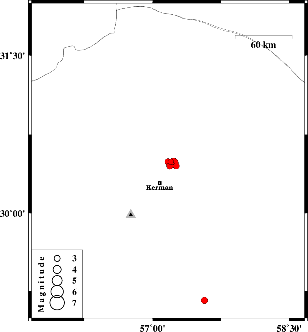
| 2012/12/03 | 23:48:35.0 | 03:18:35.0 | 30.49 | 57.2 | 14 | ML:2.8 | Kerman Province, 25 km North-East of Kerman | ||
| 2012/12/03 | 20:12:30.0 | 23:42:30.0 | 30.45 | 57.26 | 14 | ML:3.1 | Kerman Province, 25 km North-East of Kerman | ||
| 2012/12/03 | 13:44:27.8 | 17:14:27.8 | 30.45 | 57.19 | 14 | ML:3.3 | Kerman Province, 21 km North-East of Kerman | ||
| 2012/12/03 | 12:53:23.4 | 16:23:23.4 | 30.48 | 57.23 | 14 | ML:4.8 | Kerman Province, 25 km North-East of Kerman | ||
| 2012/12/03 | 12:42:31.7 | 16:12:31.7 | 30.49 | 57.17 | 14 | ML:3.2 | Kerman Province, 24 km North of Kerman | ||
| 2012/11/26 | 09:35:52.9 | 13:05:52.9 | 29.16 | 57.57 | 18 | ML:3.2 | Kerman Province, 57 km North-West of Jiroft |