
| Prel. Rep. | Date | Time(UTC) | Time(Local) | Lat. | Lon. | Depth | Mag. | Region | Waveform |
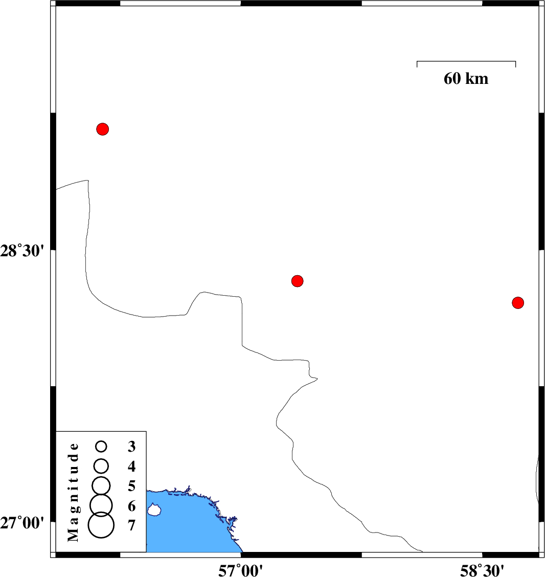
| 2012/09/19 | 22:09:12.6 | 02:39:12.6 | 28.21 | 58.72 | 18 | ML:3.2 | Kerman Province, 106 km South-East of Bam | ||
| 2012/09/19 | 02:19:38.5 | 06:49:38.5 | 28.33 | 57.35 | 14 | ML:3.2 | Kerman Province, 54 km North-West of Kahnuj | ||
| 2012/09/15 | 19:05:18.4 | 23:35:18.4 | 29.16 | 56.14 | 14 | ML:3.4 | Kerman Province, 47 km West of Baft |