
| Prel. Rep. | Date | Time(UTC) | Time(Local) | Lat. | Lon. | Depth | Mag. | Region | Waveform |
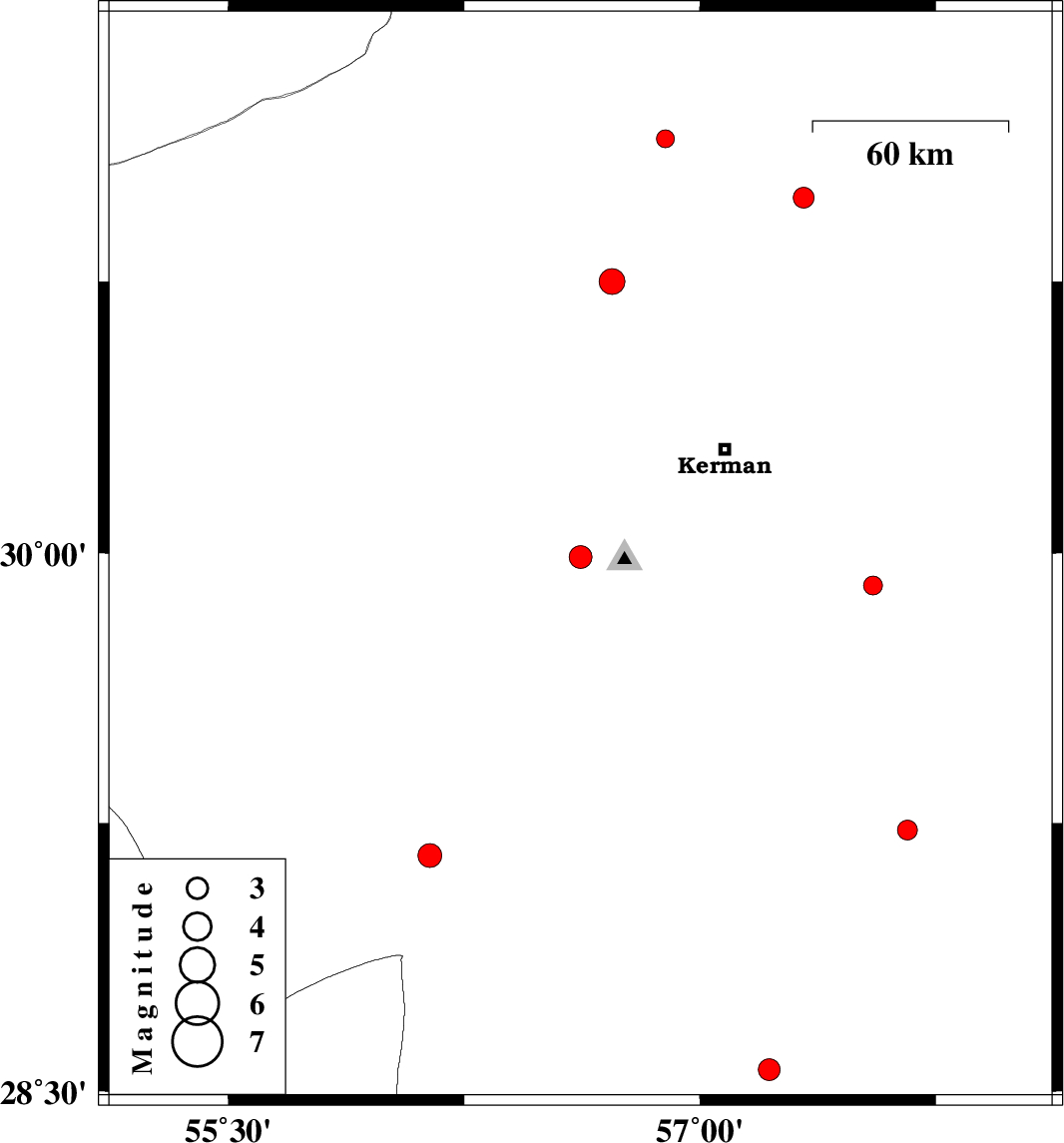
| 2012/09/16 | 15:26:34.9 | 19:56:34.9 | 29.99 | 56.62 | 14 | ML:3.2 | Kerman Province, 9 km Bardsir | ||
| 2012/09/15 | 19:05:18.4 | 23:35:18.4 | 29.16 | 56.14 | 14 | ML:3.4 | Kerman Province, 47 km West of Baft | ||
| 2012/09/09 | 05:13:28.7 | 09:43:28.7 | 31.14 | 56.89 | 14 | ML:2.6 | Kerman Province, 16 km South of Ravar | ||
| 2012/09/08 | 21:54:14.6 | 02:24:14.6 | 29.23 | 57.66 | 14 | ML:2.8 | Kerman Province, 62 km North of Jiroft | ||
| 2012/09/08 | 06:04:59.4 | 10:34:59.4 | 30.98 | 57.33 | 18 | ML:2.9 | Kerman Province, 59 km South-East of Ravar | ||
| 2012/09/03 | 20:01:52.0 | 00:31:52.0 | 29.91 | 57.55 | 14 | ML:2.7 | Kerman Province, 62 km South-East of Kerman | ||
| 2012/08/28 | 11:49:20.8 | 16:19:20.8 | 30.75 | 56.72 | 18 | ML:3.7 | Kerman Province, 16 km East of Zarand | ||
| 2012/08/18 | 14:46:32.0 | 19:16:32.0 | 28.56 | 57.22 | 35 | ML:3.1 | Kerman Province, 52 km South-West of Jiroft |