
| Prel. Rep. | Date | Time(UTC) | Time(Local) | Lat. | Lon. | Depth | Mag. | Region | Waveform |
| 2012/08/03 | 14:44:32.6 | 19:14:32.6 | 35.27 | 52.24 | 14 | ML:2.6 | Semnan Province, 10 km Garmsar | ||
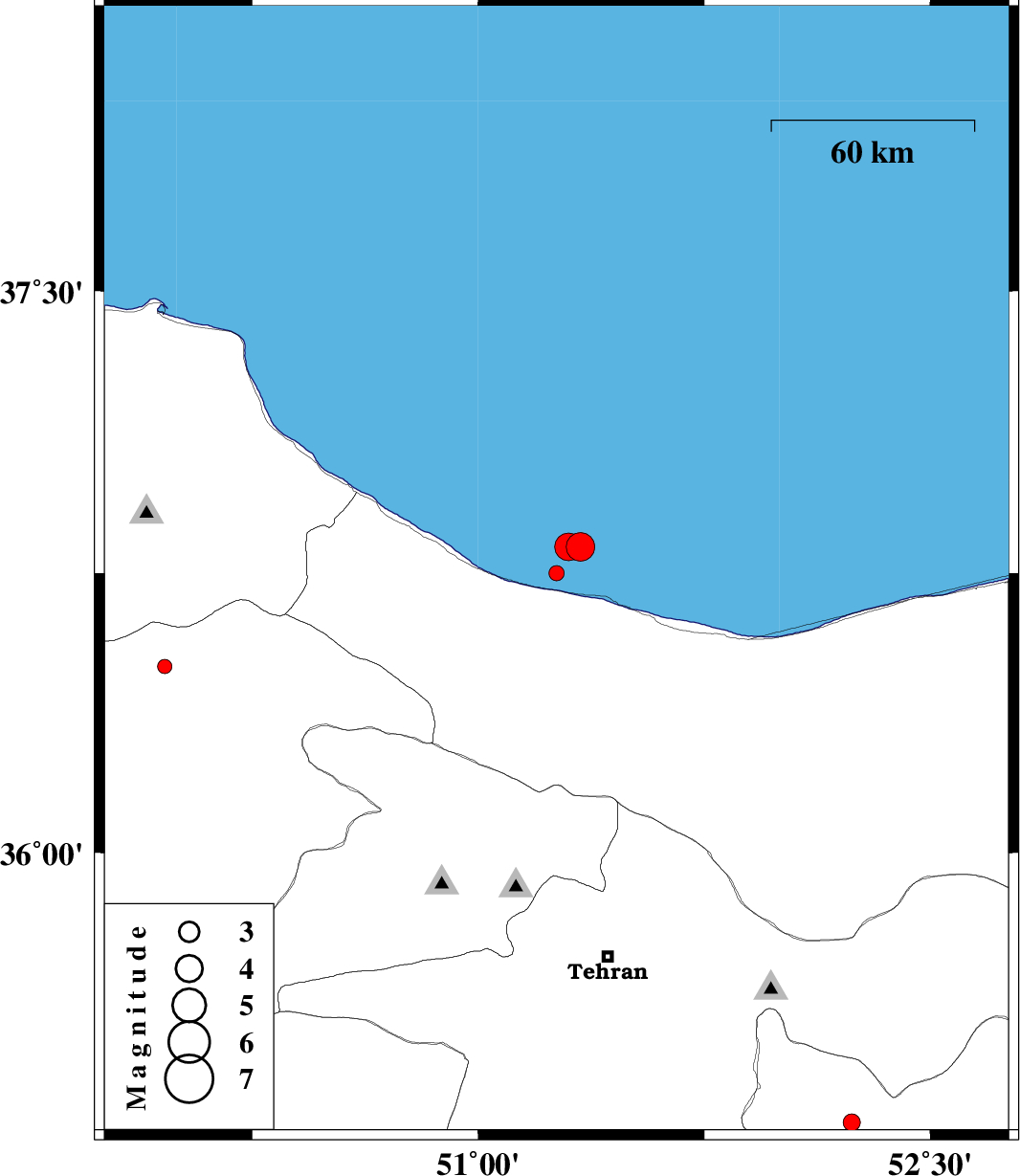
| 2012/08/03 | 03:16:54.4 | 07:46:54.4 | 36.75 | 51.26 | 14 | ML:2.2 | Caspian Sea, 18 km West of Chalus | ||
| 2012/07/29 | 00:19:34.0 | 04:49:34.0 | 36.5 | 49.96 | 14 | ML:2.1 | Ghazvin Province, 26 km North of Qazvin | ||
| 2012/07/27 | 21:39:04.5 | 02:09:04.5 | 36.82 | 51.34 | 7 | ML:4.2 | Caspian Sea, 20 km North of Chalus | ||
| 2012/07/27 | 21:19:26.9 | 01:49:26.9 | 36.82 | 51.3 | 6 | ML:4.1 | Caspian Sea, 22 km North-West of Chalus |