
| Prel. Rep. | Date | Time(UTC) | Time(Local) | Lat. | Lon. | Depth | Mag. | Region | Waveform |
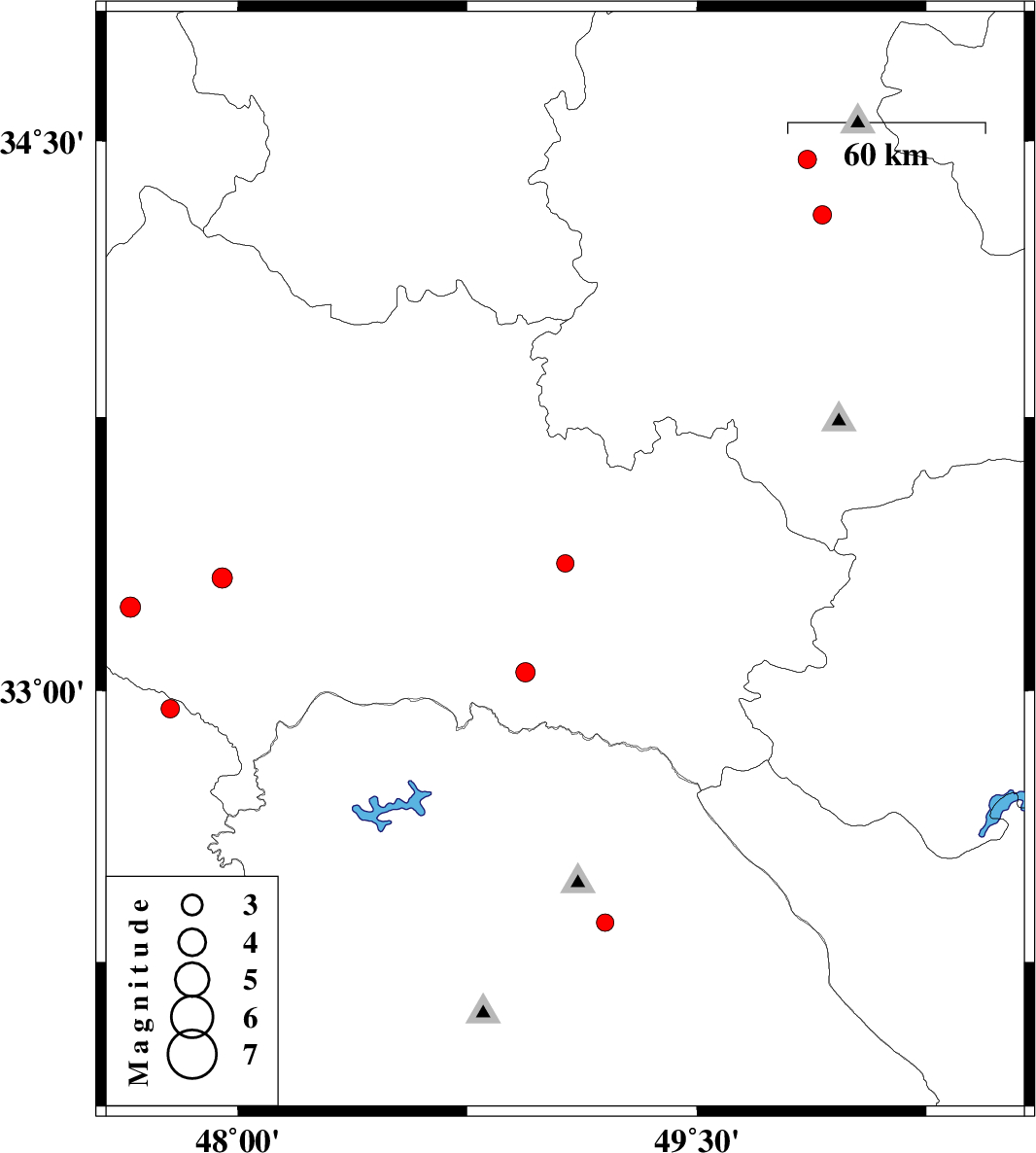
| 2012/05/27 | 23:15:47.6 | 03:45:47.6 | 33.35 | 49.07 | 17 | ML:2.5 | Lorestan Province, 15 km South of Dorud | ||
| 2012/05/26 | 21:10:53.7 | 01:40:53.7 | 33.23 | 47.65 | 14 | ML:2.9 | Lorestan Province, 11 km Pol-e dokhtar | ||
| 2012/05/25 | 20:32:48.9 | 01:02:48.9 | 33.31 | 47.95 | 14 | ML:3 | Lorestan Province, 28 km North-East of Pol-e dokhtar | ||
| 2012/05/25 | 12:27:46.3 | 16:57:46.3 | 33.05 | 48.94 | 14 | ML:2.8 | Lorestan Province, 49 km South-West of Dorud | ||
| 2012/05/23 | 22:04:12.4 | 02:34:12.4 | 34.45 | 49.86 | 15 | ML:2.7 | Markazi Province, 16 km West of Ashtiyan | ||
| 2012/05/23 | 04:03:47.5 | 08:33:47.5 | 32.95 | 47.78 | 15 | ML:2.7 | Ilam Province, 23 km South of Pol-e dokhtar | ||
| 2012/05/22 | 00:59:39.8 | 05:29:39.8 | 32.36 | 49.2 | 42 | ML:2.5 | Khoozestan Province, 9 km Lali | ||
| 2012/05/21 | 17:19:39.3 | 21:49:39.3 | 34.3 | 49.91 | 10 | ML:2.7 | Markazi Province, 26 km South of Ashtiyan |