
| Prel. Rep. | Date | Time(UTC) | Time(Local) | Lat. | Lon. | Depth | Mag. | Region | Waveform |
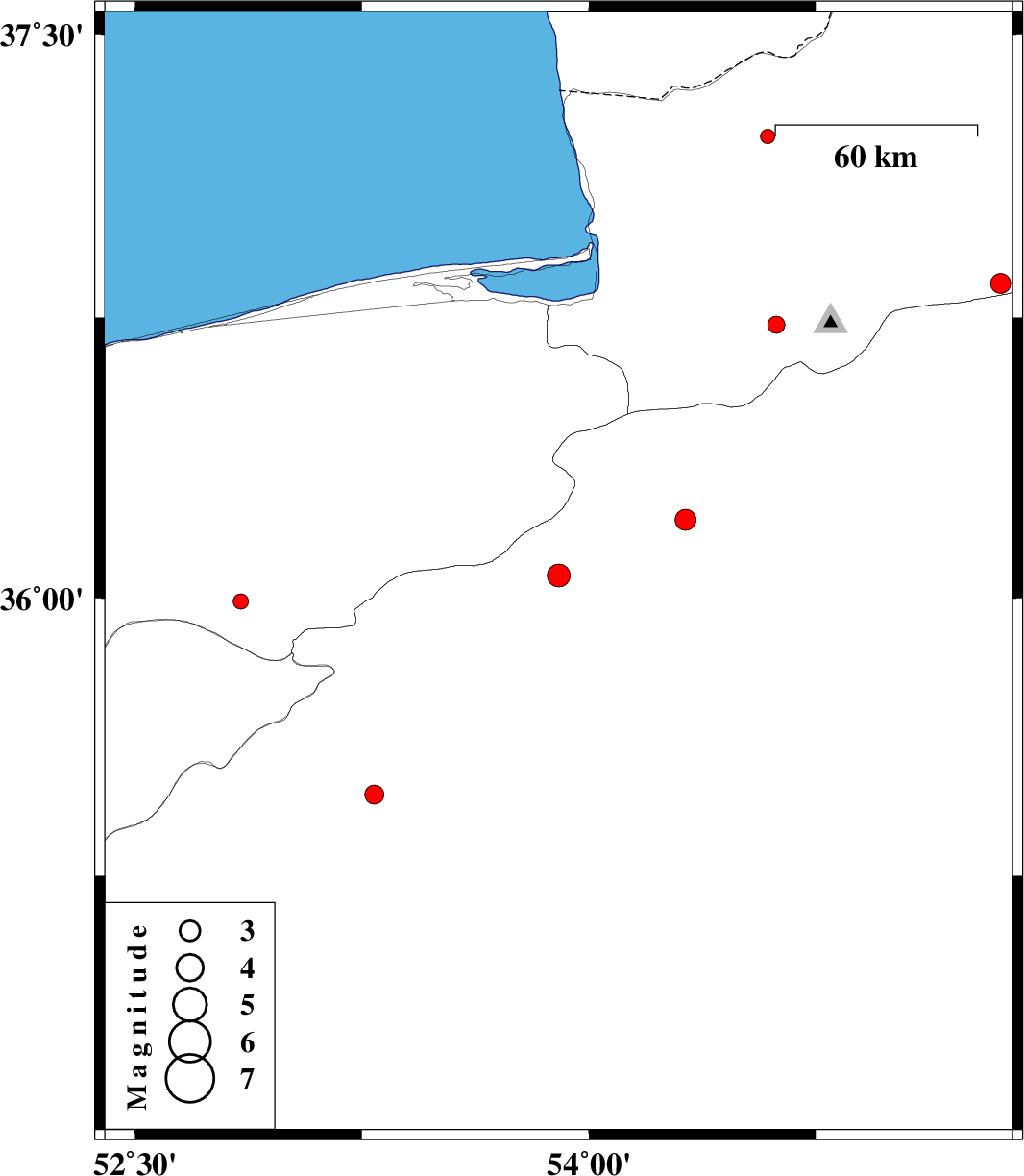
| 2012/05/24 | 18:48:00.2 | 23:18:00.2 | 36.06 | 53.9 | 15 | ML:3.4 | Semnan Province, 42 km South-West of Damghan | ||
| 2012/05/22 | 15:55:55.6 | 20:25:55.6 | 36.73 | 54.62 | 31 | ML:2.5 | Golestan Province, 20 km South-East of Gorgan | ||
| 2012/05/21 | 05:18:00.4 | 09:48:00.4 | 35.99 | 52.85 | 14 | ML:2.3 | Mazandaran Province, 28 km North of Firuzkuh | ||
| 2012/05/18 | 07:13:54.9 | 11:43:54.9 | 34.83 | 52.74 | 17 | ML:3.4 | Semnan Province, 57 km South-East of Garmsar | ||
| 2012/05/18 | 04:34:45.3 | 09:04:45.3 | 36.21 | 54.32 | 38 | ML:3.1 | Semnan Province, 6 km Damghan | ||
| 2012/05/17 | 23:41:14.8 | 04:11:14.8 | 37.23 | 54.59 | 16 | ML:2.1 | Golestan Province, 27 km North-East of Aq Qaleh | ||
| 2012/05/17 | 12:57:56.9 | 17:27:56.9 | 35.47 | 53.29 | 14 | ML:2.8 | Semnan Province, 14 km West of Semnan | ||
| 2012/05/17 | 07:51:20.6 | 12:21:20.6 | 36.84 | 55.36 | 8 | ML:2.9 | Golestan Province, 27 km South-East of Ramian |