
| Prel. Rep. | Date | Time(UTC) | Time(Local) | Lat. | Lon. | Depth | Mag. | Region | Waveform |
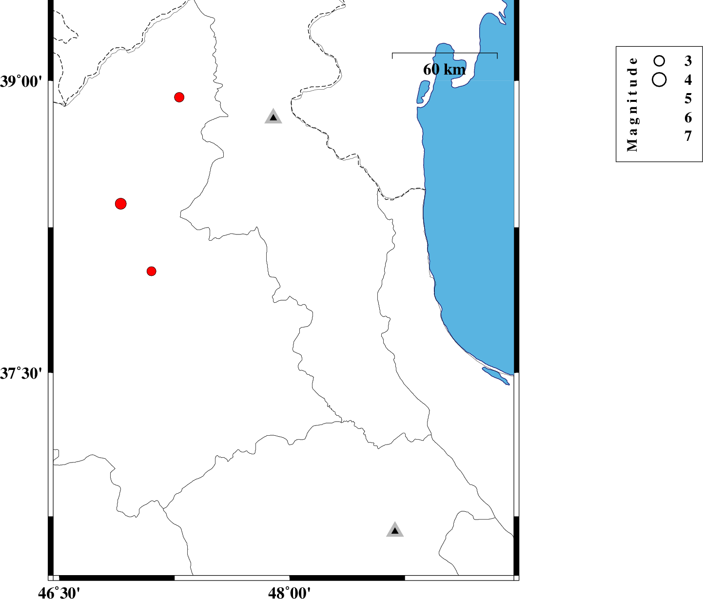
| 2011/07/24 | 02:33:23.5 | 07:03:23.5 | 37.94 | 47.96 | 15 | ML:3.5 | Ardebil Province, 21 km South-West of Nir | ||
| 2011/07/23 | 14:37:48.3 | 19:07:48.3 | 37.3 | 49.1 | 14 | ML:2.7 | Gilan Province, 14 km South of Masal | ||
| 2011/07/12 | 00:34:30.4 | 05:04:30.4 | 38.92 | 48.8 | 40 | ML:3.2 | Azerbaijan, 56 km North of Astara | ||
| 2011/07/09 | 05:35:46.2 | 10:05:46.2 | 37.9 | 47.52 | 42 | ML:3.5 | Azarbaijan Sharghi Province, 4 km Sarab | ||
| 2011/07/09 | 00:35:08.3 | 05:05:08.3 | 38.2 | 49.28 | 25 | ML:2.8 | Caspian Sea, 44 km South-East of Astara | ||
| 2011/07/08 | 08:53:55.1 | 13:23:55.1 | 37.65 | 48.9 | 15 | ML:3.2 | Gilan Province, 16 km South of Hashtpar |