
| Prel. Rep. | Date | Time(UTC) | Time(Local) | Lat. | Lon. | Depth | Mag. | Region | Waveform |
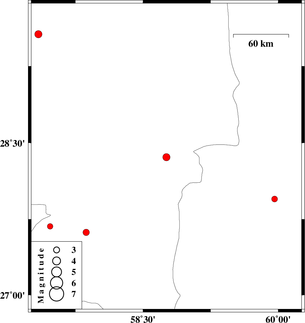
| 2011/05/16 | 18:24:57.2 | 22:54:57.2 | 28.36 | 58.76 | 15 | ML:3.7 | Kerman Province, 92 km South-East of Bam | ||
| 2011/05/14 | 18:45:30.1 | 23:15:30.1 | 27.62 | 57.87 | 15 | ML:3.2 | Kerman Province, 41 km South-East of Kahnuj | ||
| 2011/05/14 | 11:39:27.5 | 16:09:27.5 | 29.56 | 57.34 | 11 | ML:3.7 | Kerman Province, 85 km South-East of Kerman | ||
| 2011/05/06 | 15:28:11.1 | 19:58:11.1 | 27.95 | 59.96 | 17 | ML:3 | Sistan va Baloochestan Province, 109 km North-West of Iranshahr | ||
| 2011/04/26 | 20:11:02.6 | 00:41:02.6 | 27.68 | 57.47 | 35 | ML:2.8 | Kerman Province, 30 km North of Manujan |