
| Prel. Rep. | Date | Time(UTC) | Time(Local) | Lat. | Lon. | Depth | Mag. | Region | Waveform |
| 2011/03/01 | 09:28:31.1 | 12:58:31.1 | 34.71 | 52.54 | 18 | ML:2.8 | Semnan Province, 59 km South-East of Garmsar | ||
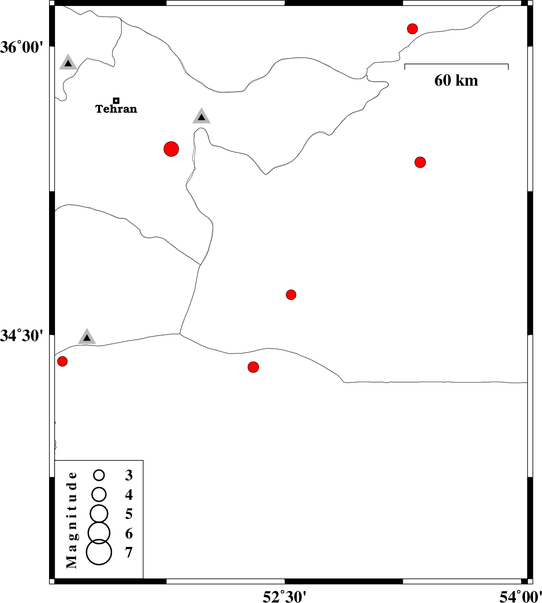
| 2011/02/22 | 03:19:58.8 | 06:49:58.8 | 36.09 | 53.31 | 17 | ML:2.9 | Mazandaran Province, 23 km East of Pol-E-Sefid | ||
| 2011/02/20 | 22:38:36.1 | 02:08:36.1 | 35.4 | 53.36 | 39 | ML:3.1 | Semnan Province, 19 km South of Semnan | ||
| 2011/02/20 | 11:22:16.3 | 14:52:16.3 | 35.47 | 51.78 | 26 | ML:4.2 | Tehran Province, 10 km East of Pakdasht | ||
| 2011/02/12 | 07:19:36.2 | 10:49:36.2 | 34.33 | 52.3 | 14 | ML:3.1 | Esfahan Province, 98 km South of Garmsar | ||
| 2011/02/08 | 04:56:06.8 | 08:26:06.8 | 33.35 | 51.06 | 14 | ML:2.5 | Esfahan Province, 73 km North of Tiran | ||
| 2011/01/30 | 08:49:49.0 | 12:19:49.0 | 34.36 | 51.09 | 7 | ML:2.8 | Esfahan Province, 38 km South-East of Qom |