
| Prel. Rep. | Date | Time(UTC) | Time(Local) | Lat. | Lon. | Depth | Mag. | Region | Waveform |
| 2011/01/03 | 00:48:21.5 | 04:18:21.5 | 35.93 | 53.3 | 14 | ML:2.8 | Semnan Province, 30 km South-East of Pol-E-Sefid | ||
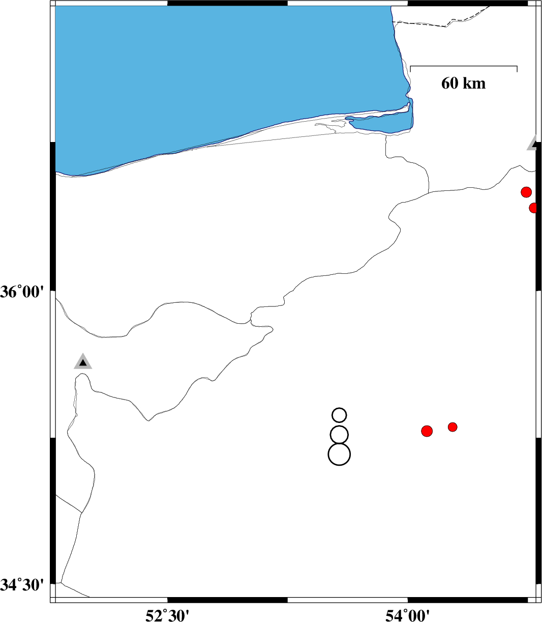
| 2010/12/26 | 08:58:15.9 | 12:28:15.9 | 34.81 | 52.79 | 14 | ML:2.5 | Semnan Province, 62 km South-East of Garmsar | ||
| 2010/12/19 | 21:35:49.1 | 01:05:49.1 | 36.83 | 54.65 | 14 | ML:2.7 | Golestan Province, 19 km East of Gorgan | ||
| 2010/12/15 | 22:02:33.9 | 01:32:33.9 | 37.28 | 54.7 | 18 | ML:3.6 | Golestan Province, 40 km West of Gonbad-e kavus | ||
| 2010/12/09 | 06:00:59.2 | 09:30:59.2 | 34.79 | 52.63 | 14 | ML:3.1 | Semnan Province, 55 km South-East of Garmsar | ||
| 2010/12/06 | 09:24:33.9 | 12:54:33.9 | 36.01 | 53.25 | 14 | ML:3 | Mazandaran Province, 21 km South-East of Pol-E-Sefid |