
| Prel. Rep. | Date | Time(UTC) | Time(Local) | Lat. | Lon. | Depth | Mag. | Region | Waveform |
| 2010/06/20 | 15:45:40.9 | 20:15:40.9 | 34.14 | 48.36 | 14 | ML:2.7 | Hamedan Province, 6 km Nahavand | ||
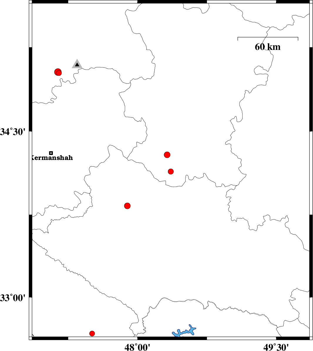
| 2010/06/14 | 20:03:17.3 | 00:33:17.3 | 33.83 | 47.89 | 15 | ML:2.9 | Lorestan Province, 29 km South of Nurabad | ||
| 2010/06/14 | 12:43:38.7 | 17:13:38.7 | 32.67 | 47.51 | 18 | ML:2.6 | Ilam Province, 24 km East of Dehloran | ||
| 2010/05/27 | 23:45:09.0 | 04:15:09.0 | 35.02 | 47.15 | 14 | ML:2.5 | Kordestan Province, 29 km North-East of Kamyaran | ||
| 2010/05/24 | 12:37:21.5 | 17:07:21.5 | 35.03 | 47.14 | 14 | ML:3.4 | Kordestan Province, 29 km North-East of Kamyaran | ||
| 2010/05/23 | 06:47:51.2 | 11:17:51.2 | 34.29 | 48.32 | 15 | ML:2.9 | Hamedan Province, 12 km North of Nahavand |