
| Prel. Rep. | Date | Time(UTC) | Time(Local) | Lat. | Lon. | Depth | Mag. | Region | Waveform |
| 2010/05/03 | 06:16:31.8 | 10:46:31.8 | 28.98 | 57.91 | 14 | ML:2.8 | Kerman Province, 39 km North-East of Jiroft | ||
| 2010/05/02 | 09:40:13.5 | 14:10:13.5 | 27.77 | 56.82 | 14 | ML:2.9 | Hormozgan Province, 56 km North-West of Dehbarez | ||
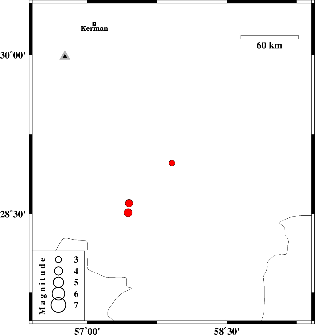
| 2010/04/29 | 21:14:02.2 | 01:44:02.2 | 28.51 | 57.44 | 39 | ML:3.9 | Kerman Province, 34 km South-West of Jiroft | ||
| 2010/04/29 | 21:13:20.6 | 01:43:20.6 | 28.6 | 57.45 | 17 | ML:3.6 | Kerman Province, 30 km West of Jiroft |