
| Prel. Rep. | Date | Time(UTC) | Time(Local) | Lat. | Lon. | Depth | Mag. | Region | Waveform |
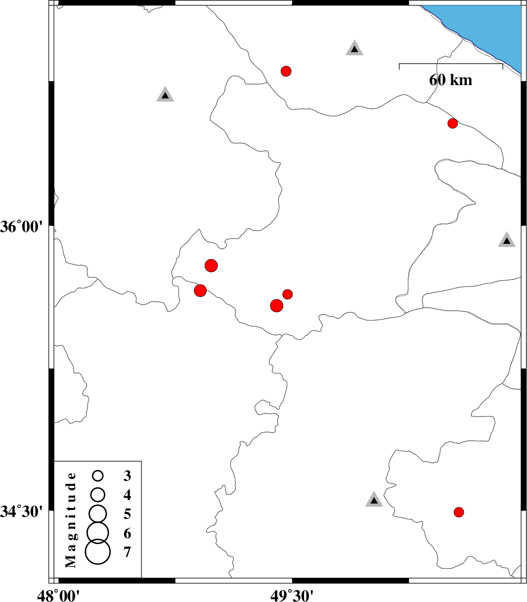
| 2010/03/31 | 10:37:24.6 | 15:07:24.6 | 35.64 | 49.47 | 14 | ML:2.8 | Ghazvin Province, 52 km South-West of Takestan | ||
| 2010/03/29 | 10:25:44.4 | 14:55:44.4 | 35.58 | 49.4 | 46 | ML:3.6 | Ghazvin Province, 40 km North-East of Razan | ||
| 2010/03/27 | 05:34:50.2 | 10:04:50.2 | 36.53 | 50.53 | 14 | ML:2.8 | Ghazvin Province, 43 km South-West of Ramsar | ||
| 2010/03/21 | 01:07:58.9 | 04:37:58.9 | 34.49 | 50.57 | 46 | ML:2.8 | Qom Province, 33 km South-West of Qom | ||
| 2010/03/19 | 14:17:30.3 | 17:47:30.3 | 35.66 | 48.91 | 33 | ML:3.5 | Hamedan Province, 33 km North-West of Razan | ||
| 2010/03/05 | 05:19:32.8 | 08:49:32.8 | 36.8 | 49.46 | 18 | ML:2.9 | Gilan Province, 4 km Rudbar | ||
| 2010/03/04 | 16:38:49.4 | 20:08:49.4 | 35.79 | 48.98 | 33 | ML:3.7 | Ghazvin Province, 46 km North of Razan |