
| Prel. Rep. | Date | Time(UTC) | Time(Local) | Lat. | Lon. | Depth | Mag. | Region | Waveform |
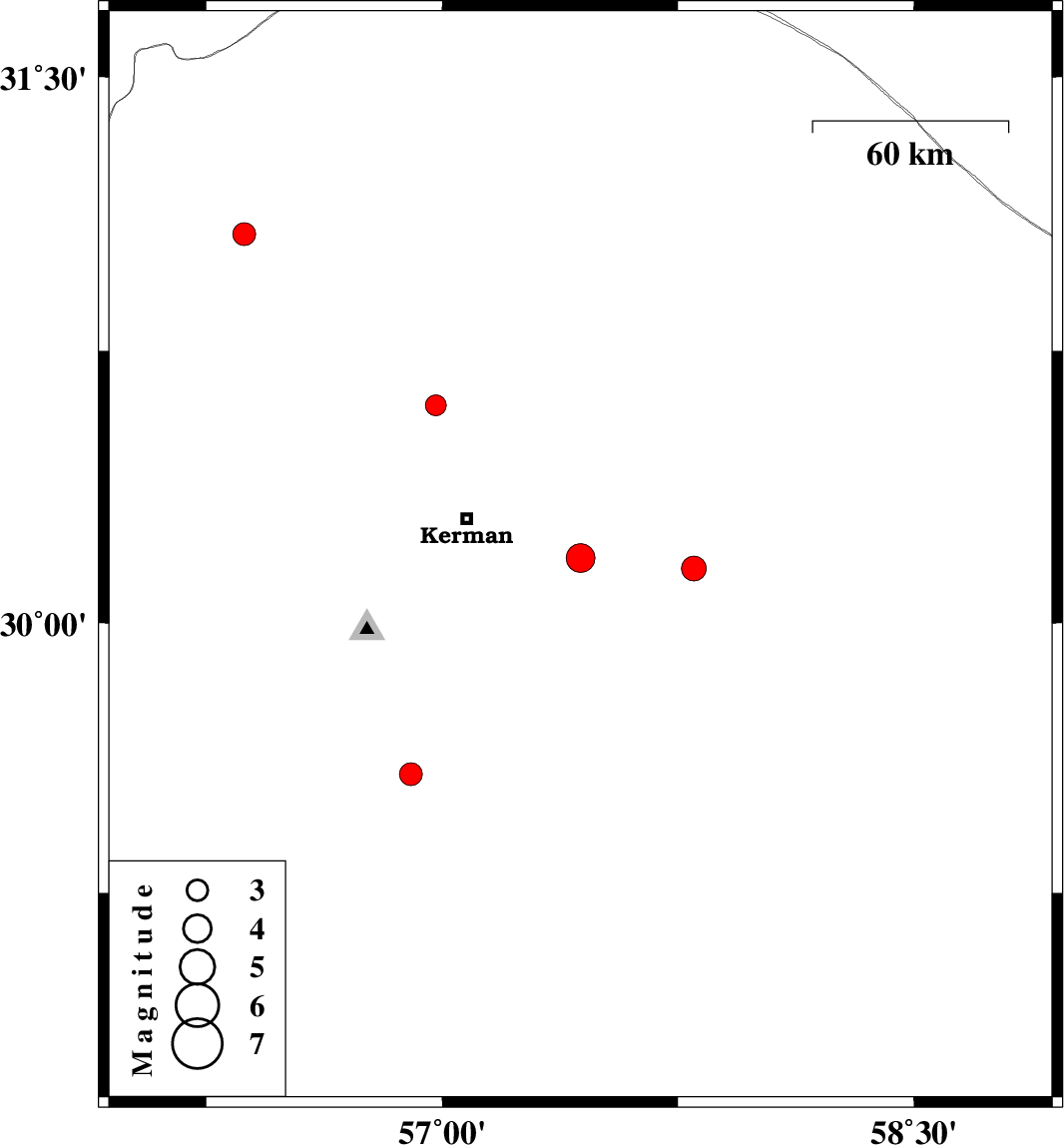
| 2009/10/17 | 17:08:08.8 | 20:38:08.8 | 30.18 | 57.44 | 12 | ML:4.1 | Kerman Province, 36 km South-East of Kerman | ||
| 2009/10/14 | 01:46:30.8 | 05:16:30.8 | 31.07 | 56.37 | 18 | ML:3.2 | Kerman Province, 34 km North-West of Zarand | ||
| 2009/10/07 | 13:04:55.4 | 16:34:55.4 | 29.58 | 56.9 | 18 | ML:3.2 | Kerman Province, 48 km North-East of Baft | ||
| 2009/10/02 | 04:47:43.8 | 08:17:43.8 | 30.15 | 57.8 | 15 | ML:3.5 | Kerman Province, 71 km South-East of Kerman | ||
| 2009/09/29 | 21:37:52.5 | 01:07:52.5 | 30.6 | 56.98 | 14 | ML:2.9 | Kerman Province, 35 km North of Kerman |