
| Prel. Rep. | Date | Time(UTC) | Time(Local) | Lat. | Lon. | Depth | Mag. | Region | Waveform |
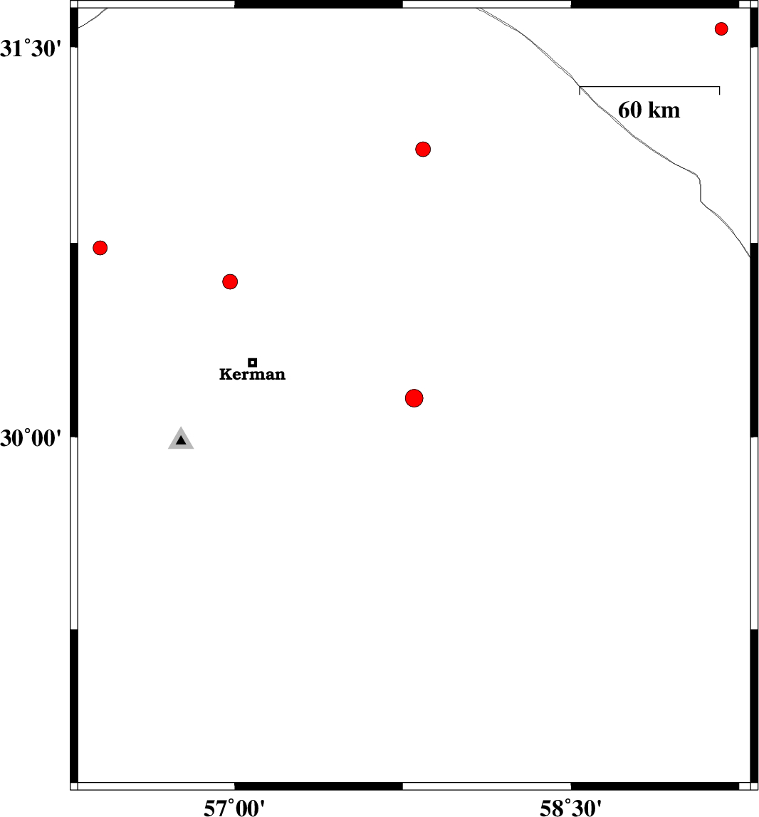
| 2009/10/02 | 04:47:43.8 | 08:17:43.8 | 30.15 | 57.8 | 15 | ML:3.5 | Kerman Province, 71 km South-East of Kerman | ||
| 2009/09/29 | 21:37:52.5 | 01:07:52.5 | 30.6 | 56.98 | 14 | ML:2.9 | Kerman Province, 35 km North of Kerman | ||
| 2009/09/10 | 08:06:39.7 | 12:36:39.7 | 31.11 | 57.84 | 18 | ML:3 | Kerman Province, 99 km South-East of Ravar | ||
| 2009/09/09 | 20:34:17.0 | 01:04:17.0 | 31.57 | 59.17 | 14 | ML:2.5 | Khorasan(south) Province, 82 km West of Nehbandan | ||
| 2009/09/03 | 04:35:17.5 | 09:05:17.5 | 30.73 | 56.4 | 18 | ML:2.8 | Kerman Province, 18 km West of Zarand |