
| Prel. Rep. | Date | Time(UTC) | Time(Local) | Lat. | Lon. | Depth | Mag. | Region | Waveform |
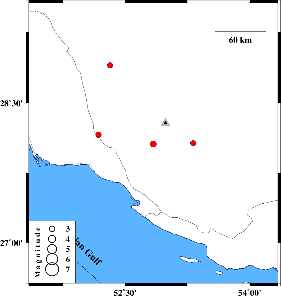
| 2010/03/29 | 22:28:13.0 | 02:58:13.0 | 28.06 | 52.84 | 11 | ML:3.4 | Fars Province, 57 km North of Mehr | ||
| 2010/03/29 | 15:50:01.6 | 20:20:01.6 | 28.16 | 52.18 | 14 | ML:3.1 | Fars Province, 39 km North-East of Bandar-e kangan | ||
| 2010/03/27 | 00:48:01.8 | 05:18:01.8 | 28.07 | 53.32 | 43 | ML:2.9 | Fars Province, 53 km South-West of Jahrom | ||
| 2010/03/24 | 01:47:54.8 | 06:17:54.8 | 28.9 | 52.32 | 14 | ML:3 | Fars Province, 22 km East of Farashband |