
| Prel. Rep. | Date | Time(UTC) | Time(Local) | Lat. | Lon. | Depth | Mag. | Region | Waveform |
| 2009/09/06 | 01:24:45.6 | 05:54:45.6 | 30.17 | 51.71 | 15 | ML:3.6 | Fars Province, 19 km East of Nurabad | ||
| 2009/08/25 | 15:59:59.6 | 20:29:59.6 | 30.25 | 51.78 | 15 | ML:3.8 | Fars Province, 20 km West of Ardakan | ||
| 2009/08/15 | 05:29:53.2 | 09:59:53.2 | 30.26 | 51.32 | 18 | ML:3.2 | Fars Province, 26 km North-West of Nurabad | ||
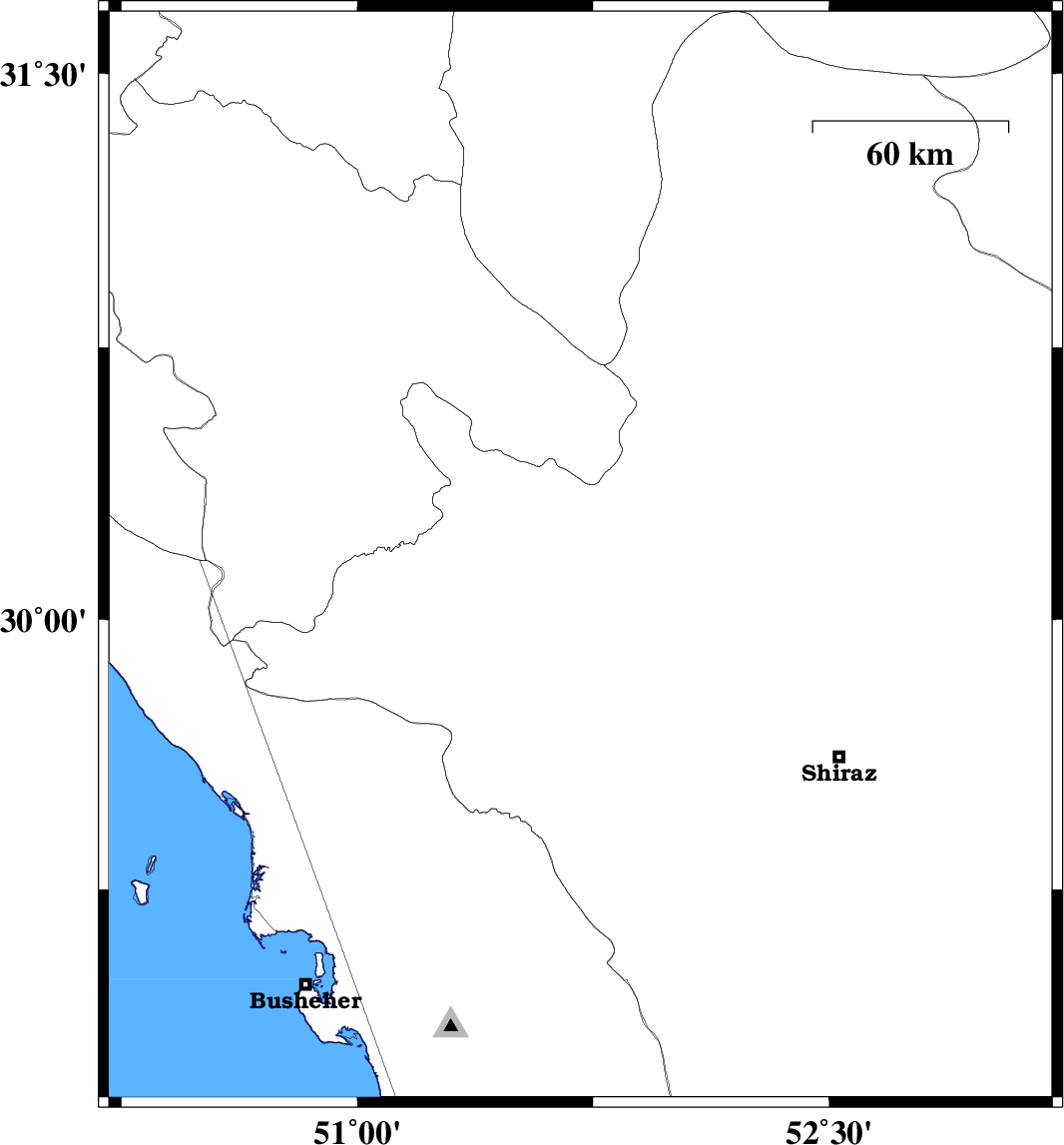
| 2009/08/15 | 01:46:42.6 | 06:16:42.6 | 29 | 51.22 | 15 | ML:3.4 | Bushehr Province, 14 km North of Ahram | ||
| 2009/08/08 | 14:18:41.9 | 18:48:41.9 | 29.51 | 51.34 | 18 | ML:4 | Fars Province, 31 km North-East of Borazjan |