
| Prel. Rep. | Date | Time(UTC) | Time(Local) | Lat. | Lon. | Depth | Mag. | Region | Waveform |
| 2009/08/30 | 22:16:38.0 | 02:46:38.0 | 33.51 | 46.88 | 14 | ML:3.4 | Ilam Province, 44 km South-East of Ilam | ||
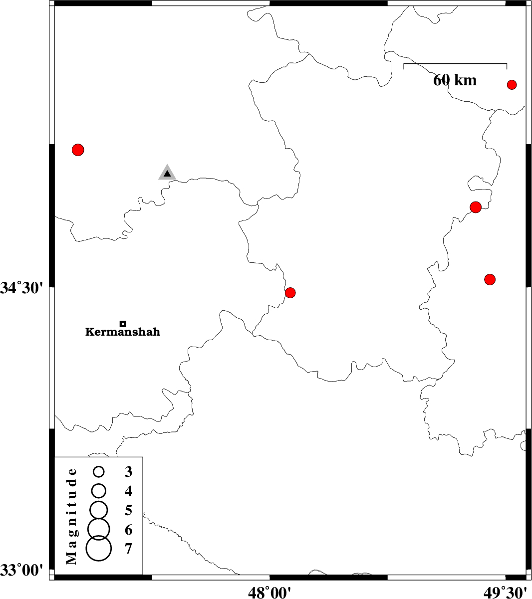
| 2009/08/30 | 09:13:16.0 | 13:43:16.0 | 34.47 | 48.13 | 43 | ML:2.9 | Hamedan Province, 17 km East of Kangavar | ||
| 2009/08/30 | 09:08:33.8 | 13:38:33.8 | 33.45 | 46.92 | 14 | ML:3.2 | Ilam Province, 50 km South-East of Ilam | ||
| 2009/08/25 | 18:12:35.8 | 22:42:35.8 | 34.54 | 49.4 | 14 | ML:3.1 | Markazi Province, 55 km West of Ashtiyan | ||
| 2009/08/17 | 19:15:36.7 | 23:45:36.7 | 35.56 | 49.54 | 46 | ML:2.7 | Ghazvin Province, 58 km South-West of Takestan | ||
| 2009/08/09 | 05:23:42.0 | 09:53:42.0 | 35.22 | 46.78 | 15 | ML:3.4 | Kordestan Province, 23 km South-West of Sanandaj | ||
| 2009/08/04 | 00:59:16.2 | 05:29:16.2 | 34.92 | 49.31 | 16 | ML:3.3 | Hamedan Province, 57 km South-East of Razan |