
| Prel. Rep. | Date | Time(UTC) | Time(Local) | Lat. | Lon. | Depth | Mag. | Region | Waveform |
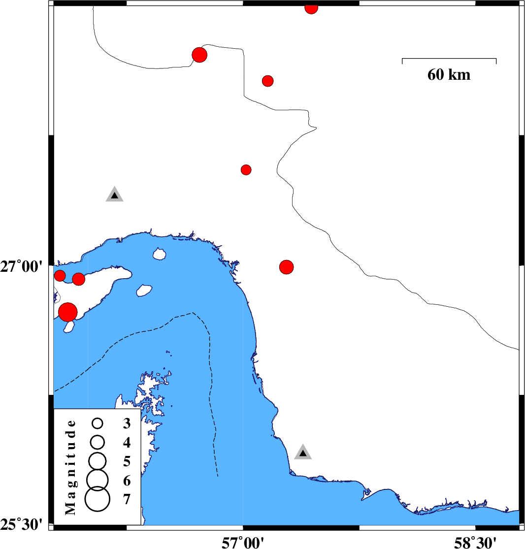
| 2009/08/07 | 18:59:33.9 | 23:29:33.9 | 26.99 | 57.28 | 18 | ML:4.1 | Hormozgan Province, 27 km South-East of Minab | ||
| 2009/08/07 | 04:54:08.8 | 09:24:08.8 | 28.21 | 56.72 | 15 | ML:4.4 | Hormozgan Province, 81 km South-East of Hajiabad | ||
| 2009/07/29 | 18:09:40.8 | 22:39:40.8 | 28.48 | 57.44 | 14 | ML:3.8 | Kerman Province, 36 km South-West of Jiroft | ||
| 2009/07/25 | 06:48:52.2 | 11:18:52.2 | 28.06 | 57.16 | 46 | ML:3.2 | Kerman Province, 53 km North-West of Kahnuj | ||
| 2009/07/22 | 17:44:55.8 | 22:14:55.8 | 26.92 | 55.94 | 28 | ML:3.7 | Persian Gulf, 33 km West of Qeshm | ||
| 2009/07/22 | 04:32:49.9 | 09:02:49.9 | 26.94 | 55.82 | 8 | ML:3.2 | Persian Gulf, 44 km West of Qeshm | ||
| 2009/07/22 | 03:53:02.6 | 08:23:02.6 | 26.73 | 55.87 | 14 | Mb:5.5 | Persian Gulf, 47 km South-West of Qeshm | ||
| 2009/07/19 | 07:51:10.8 | 12:21:10.8 | 27.55 | 57.02 | 14 | ML:3 | Hormozgan Province, 26 km North-West of Dehbarez |