
| Prel. Rep. | Date | Time(UTC) | Time(Local) | Lat. | Lon. | Depth | Mag. | Region | Waveform |
| 2010/03/28 | 18:25:03.5 | 22:55:03.5 | 29.11 | 56.65 | 18 | ML:2.6 | Kerman Province, 15 km South of Baft | ||
| 2010/03/28 | 02:01:45.7 | 06:31:45.7 | 28.09 | 56.87 | 15 | ML:3 | Hormozgan Province, 82 km North-West of Kahnuj | ||
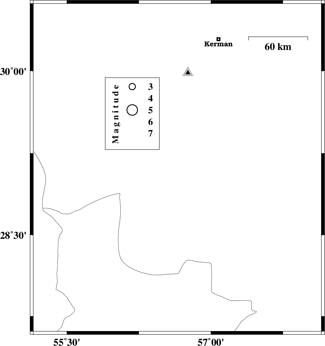
| 2010/03/25 | 01:49:38.1 | 06:19:38.1 | 30.45 | 57.49 | 6 | ML:3.1 | Kerman Province, 43 km North-East of Kerman | ||
| 2010/03/20 | 06:02:50.3 | 09:32:50.3 | 30.17 | 57.4 | 8 | ML:2.6 | Kerman Province, 34 km South-East of Kerman | ||
| 2010/03/08 | 16:39:35.2 | 20:09:35.2 | 30.3 | 57.7 | 14 | ML:3.8 | Kerman Province, 60 km East of Kerman | ||
| 2010/03/08 | 15:22:35.1 | 18:52:35.1 | 30.22 | 57.64 | 28 | ML:2.8 | Kerman Province, 54 km East of Kerman | ||
| 2010/02/27 | 13:01:40.8 | 16:31:40.8 | 28.95 | 56.65 | 15 | ML:3.1 | Kerman Province, 32 km South of Baft | ||
| 2010/02/26 | 00:17:58.8 | 03:47:58.8 | 28.11 | 56.9 | 28 | ML:3 | Hormozgan Province, 80 km North-West of Kahnuj |