
| Prel. Rep. | Date | Time(UTC) | Time(Local) | Lat. | Lon. | Depth | Mag. | Region | Waveform |
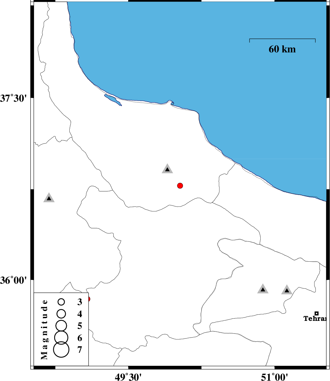
| 2010/02/06 | 18:17:33.8 | 21:47:33.8 | 36.78 | 50.03 | 14 | ML:2.6 | 36 km South-West of Amlash, Gilan Province | ||
| 2010/01/22 | 02:33:37.5 | 06:03:37.5 | 35.84 | 49.08 | 31 | ML:2.6 | 35 km South-West of Abhar, Zanjan Province | ||
| 2010/01/14 | 22:09:22.3 | 01:39:22.3 | 35.68 | 48.95 | 34 | ML:2.6 | 33 km North of Razan, Hamedan Province | ||
| 2010/01/10 | 08:28:00.3 | 11:58:00.3 | 35.71 | 48.98 | 15 | ML:2.8 | 36 km North of Razan, Hamedan Province | ||
| 2010/01/10 | 07:21:42.8 | 10:51:42.8 | 35.71 | 48.93 | 14 | ML:2.9 | 37 km North-West of Razan, Hamedan Province | ||
| 2010/01/10 | 06:52:23.5 | 10:22:23.5 | 35.69 | 48.94 | 15 | ML:4 | 34 km North of Razan, Hamedan Province | ||
| 2010/01/08 | 00:58:32.9 | 04:28:32.9 | 35.66 | 48.97 | 18 | ML:2.6 | 31 km North of Razan, Hamedan Province | ||
| 2010/01/08 | 00:41:29.0 | 04:11:29.0 | 35.69 | 48.95 | 28 | ML:2.6 | 34 km North of Razan, Hamedan Province |