
| Prel. Rep. | Date | Time(UTC) | Time(Local) | Lat. | Lon. | Depth | Mag. | Region | Waveform |
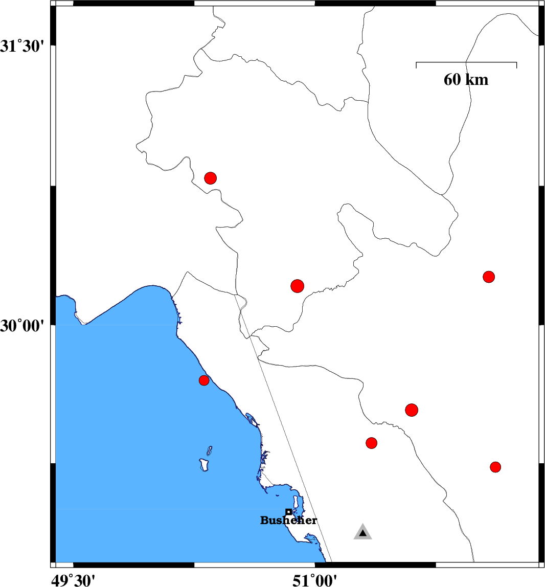
| 2008/03/26 | 04:44:31.3 | 09:14:31.3 | 30.21 | 50.89 | 15 | ML:3.6 | 18 km South-East of Dogonbadan, Kohkiluieh va boyerahmad Province | ||
| 2008/03/24 | 18:56:26.1 | 23:26:26.1 | 29.7 | 50.31 | 14 | ML:2.8 | Persian Gulf, 23 km North-West of Bandar-e genaveh | ||
| 2008/03/24 | 01:25:05.6 | 05:55:05.6 | 29.36 | 51.35 | 15 | ML:3.1 | 17 km East of Borazjan, Bushehr Province | ||
| 2008/03/20 | 21:45:39.9 | 02:15:39.9 | 30.79 | 50.35 | 15 | ML:3.4 | 20 km West of Dehdasht, Kohkiluieh va boyerahmad Province | ||
| 2008/03/15 | 02:29:38.1 | 05:59:38.1 | 29.23 | 52.12 | 15 | ML:3 | 39 km North of Farashband, Fars Province | ||
| 2008/03/14 | 02:17:30.2 | 05:47:30.2 | 30.26 | 52.08 | 15 | ML:3.2 | 9 km Ardakan, Fars Province | ||
| 2008/02/28 | 01:01:45.9 | 04:31:45.9 | 29.54 | 51.6 | 14 | ML:3.5 | 10 km Kazerun, Fars Province |