
| Prel. Rep. | Date | Time(UTC) | Time(Local) | Lat. | Lon. | Depth | Mag. | Region | Waveform |
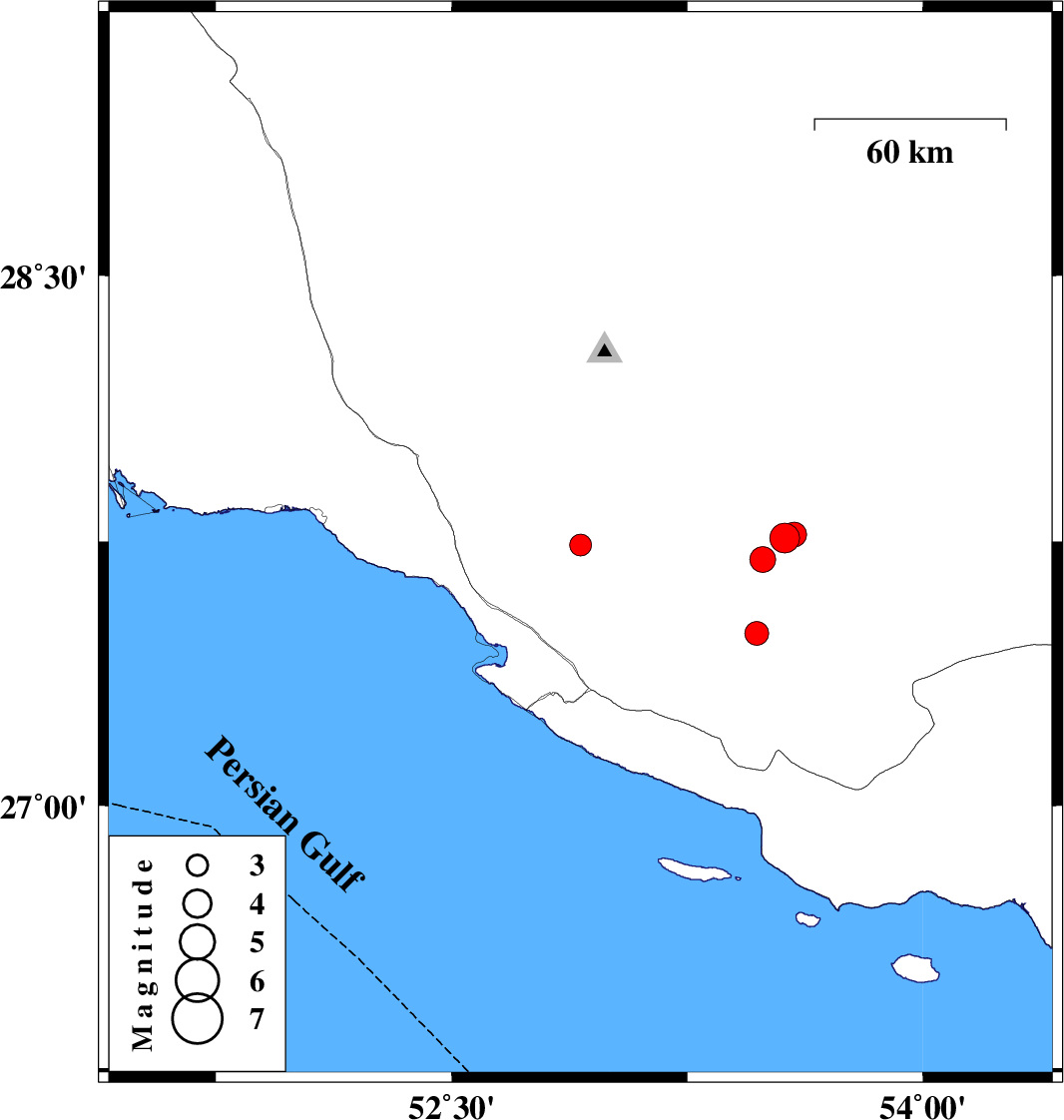
| 2008/02/07 | 20:48:39.4 | 00:18:39.4 | 27.74 | 52.91 | 14 | ML:3.1 | 21 km North of Mehr, Fars Province | ||
| 2008/02/07 | 20:20:07.8 | 23:50:07.8 | 27.49 | 53.47 | 46 | ML:3.4 | 34 km North-East of Lamerd, Fars Province | ||
| 2008/02/07 | 20:15:26.2 | 23:45:26.2 | 27.76 | 53.56 | 44 | ML:4.3 | 60 km North-East of Lamerd, Fars Province | ||
| 2008/02/07 | 18:55:26.6 | 22:25:26.6 | 27.7 | 53.49 | 43 | ML:3.7 | 51 km North-East of Lamerd, Fars Province | ||
| 2008/02/04 | 18:12:41.4 | 21:42:41.4 | 27.77 | 53.59 | 40 | ML:3.5 | 63 km North-East of Lamerd, Fars Province |