
| Prel. Rep. | Date | Time(UTC) | Time(Local) | Lat. | Lon. | Depth | Mag. | Region | Waveform |
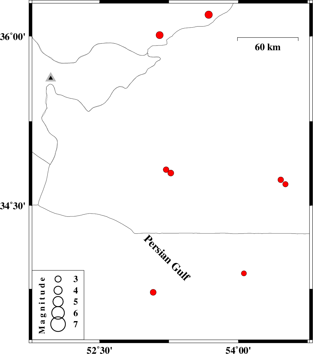
| 2008/01/09 | 09:54:49.4 | 13:24:49.4 | 33.72 | 53.08 | 14 | ML:3 | 75 km North-East of Ardestan, Esfahan Province | ||
| 2008/01/09 | 00:30:12.1 | 04:00:12.1 | 34.79 | 53.27 | 14 | ML:2.9 | 86 km South-West of Semnan, Semnan Province | ||
| 2008/01/07 | 23:18:19.3 | 02:48:19.3 | 34.82 | 53.22 | 15 | ML:2.8 | 84 km South-West of Semnan, Semnan Province | ||
| 2008/01/07 | 09:46:57.3 | 13:16:57.3 | 36.01 | 53.15 | 15 | ML:3.5 | 13 km Pol-E-Sefid, Mazandaran Province | ||
| 2007/12/26 | 18:35:38.0 | 22:05:38.0 | 33.89 | 54.06 | 14 | ML:2.6 | 144 km North-East of Nain, Esfahan Province | ||
| 2007/12/25 | 09:08:20.9 | 12:38:20.9 | 34.73 | 54.46 | 14 | ML:2.8 | 133 km South-East of Semnan, Semnan Province | ||
| 2007/12/23 | 12:05:39.0 | 15:35:39.0 | 34.69 | 54.51 | 18 | ML:2.7 | 140 km South-East of Semnan, Semnan Province | ||
| 2007/12/12 | 02:52:45.3 | 06:22:45.3 | 36.19 | 53.68 | 14 | ML:3.6 | 56 km East of Pol-E-Sefid, Mazandaran Province |