
| Prel. Rep. | Date | Time(UTC) | Time(Local) | Lat. | Lon. | Depth | Mag. | Region | Waveform |
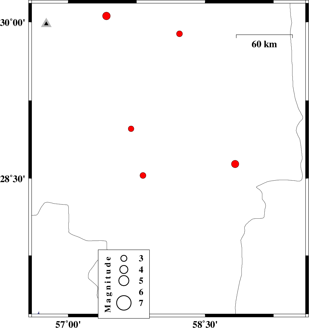
| 2007/12/22 | 10:04:39.7 | 13:34:39.7 | 28.68 | 58.1 | 14 | ML:3.6 | 35 km East of Jiroft, Kerman Province | ||
| 2007/12/13 | 01:05:05.1 | 04:35:05.1 | 29.93 | 57.49 | 15 | ML:2.9 | 55 km South-East of Kerman, Kerman Province | ||
| 2007/12/11 | 11:03:35.5 | 14:33:35.5 | 29.02 | 56.96 | 15 | ML:2.8 | 41 km South-East of Baft, Kerman Province | ||
| 2007/12/09 | 23:43:10.6 | 03:13:10.6 | 28.57 | 57.09 | 17 | ML:2.9 | 63 km South-West of Jiroft, Kerman Province | ||
| 2007/12/01 | 16:55:22.5 | 20:25:22.5 | 30.1 | 56.69 | 14 | ML:3.8 | 22 km North-East of Bardsir, Kerman Province |