
| Prel. Rep. | Date | Time(UTC) | Time(Local) | Lat. | Lon. | Depth | Mag. | Region | Waveform |
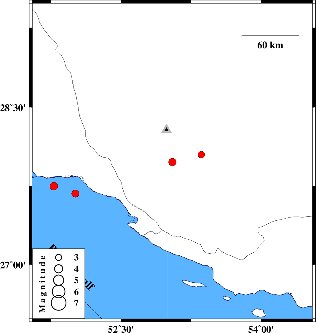
| 2007/09/05 | 14:13:08.2 | 17:43:08.2 | 27.68 | 52.01 | 25 | ML:3.5 | Persian Gulf, 17 km South of Bandar-e kangan | ||
| 2007/09/05 | 02:05:32.7 | 05:35:32.7 | 27.98 | 53.05 | 18 | ML:3.6 | 50 km North-East of Mehr, Fars Province | ||
| 2007/08/18 | 06:18:20.4 | 09:48:20.4 | 28.05 | 53.36 | 11 | ML:3.3 | 53 km South-West of Jahrom, Fars Province | ||
| 2007/08/15 | 12:24:52.9 | 15:54:52.9 | 27.75 | 51.78 | 18 | ML:3.8 | Persian Gulf, 29 km West of Bandar-e kangan |