
| Prel. Rep. | Date | Time(UTC) | Time(Local) | Lat. | Lon. | Depth | Mag. | Region | Waveform |
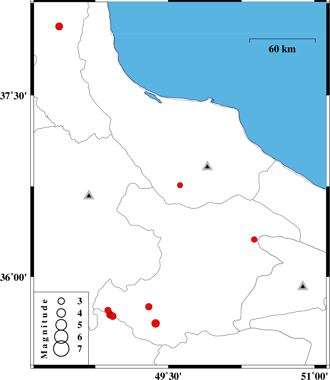
| 2007/04/21 | 08:47:31.8 | 12:17:31.8 | 36.76 | 49.62 | 14 | ML:2.6 | 18 km East of Rudbar, Gilan Province | ||
| 2007/04/18 | 23:43:11.1 | 03:13:11.1 | 35.72 | 48.88 | 14 | ML:3 | 39 km North-West of Razan, Hamedan Province | ||
| 2007/04/17 | 02:36:40.4 | 06:06:40.4 | 35.75 | 49.3 | 17 | ML:3.1 | 44 km South of Abhar, Zanjan Province | ||
| 2007/04/15 | 04:24:21.0 | 07:54:21.0 | 35.67 | 48.93 | 14 | ML:3.2 | 33 km North-West of Razan, Hamedan Province | ||
| 2007/04/06 | 11:37:36.8 | 15:07:36.8 | 35.68 | 48.9 | 15 | ML:3 | 35 km North-West of Razan, Hamedan Province | ||
| 2007/04/02 | 15:53:16.6 | 19:23:16.6 | 35.69 | 48.9 | 14 | ML:2.9 | 36 km North-West of Razan, Hamedan Province | ||
| 2007/03/28 | 15:05:52.8 | 18:35:52.8 | 35.61 | 49.37 | 42 | ML:3.7 | 39 km North-East of Razan, Hamedan Province | ||
| 2007/03/26 | 14:28:08.0 | 17:58:08.0 | 36.31 | 50.38 | 27 | ML:2.7 | 33 km North-West of Abyek, Ghazvin Province | ||
| 2007/03/22 | 23:16:34.6 | 02:46:34.6 | 38.06 | 48.38 | 14 | ML:3.4 | 21 km South of Ardabil, Ardebil Province |