
| Prel. Rep. | Date | Time(UTC) | Time(Local) | Lat. | Lon. | Depth | Mag. | Region | Waveform |
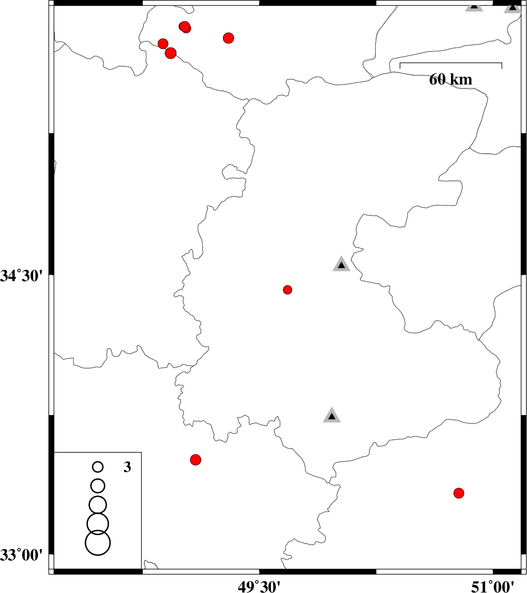
| 2007/05/11 | 11:05:51.7 | 14:35:51.7 | 34.42 | 49.68 | 15 | ML:2.6 | 31 km South-West of Ashtiyan, Markazi Province | ||
| 2007/05/09 | 11:27:29.1 | 14:57:29.1 | 35.81 | 49.02 | 14 | ML:3 | 41 km South-West of Abhar, Zanjan Province | ||
| 2007/05/07 | 09:16:46.1 | 12:46:46.1 | 35.81 | 49.01 | 15 | ML:2.6 | 41 km South-West of Abhar, Zanjan Province | ||
| 2007/05/07 | 03:39:28.5 | 07:09:28.5 | 35.8 | 49.03 | 17 | ML:2.7 | 42 km South-West of Abhar, Zanjan Province | ||
| 2007/04/25 | 16:56:32.5 | 20:26:32.5 | 33.33 | 50.78 | 15 | ML:2.9 | 44 km North-East of Khvansar, Esfahan Province | ||
| 2007/04/18 | 23:43:11.1 | 03:13:11.1 | 35.72 | 48.88 | 14 | ML:3 | 39 km North-West of Razan, Hamedan Province | ||
| 2007/04/17 | 02:36:40.4 | 06:06:40.4 | 35.75 | 49.3 | 17 | ML:3.1 | 44 km South of Abhar, Zanjan Province | ||
| 2007/04/15 | 15:55:55.8 | 19:25:55.8 | 33.51 | 49.09 | 14 | ML:3.1 | 3 km Dorud, Lorestan Province | ||
| 2007/04/15 | 04:24:21.0 | 07:54:21.0 | 35.67 | 48.93 | 14 | ML:3.2 | 33 km North-West of Razan, Hamedan Province |