
| Prel. Rep. | Date | Time(UTC) | Time(Local) | Lat. | Lon. | Depth | Mag. | Region | Waveform |
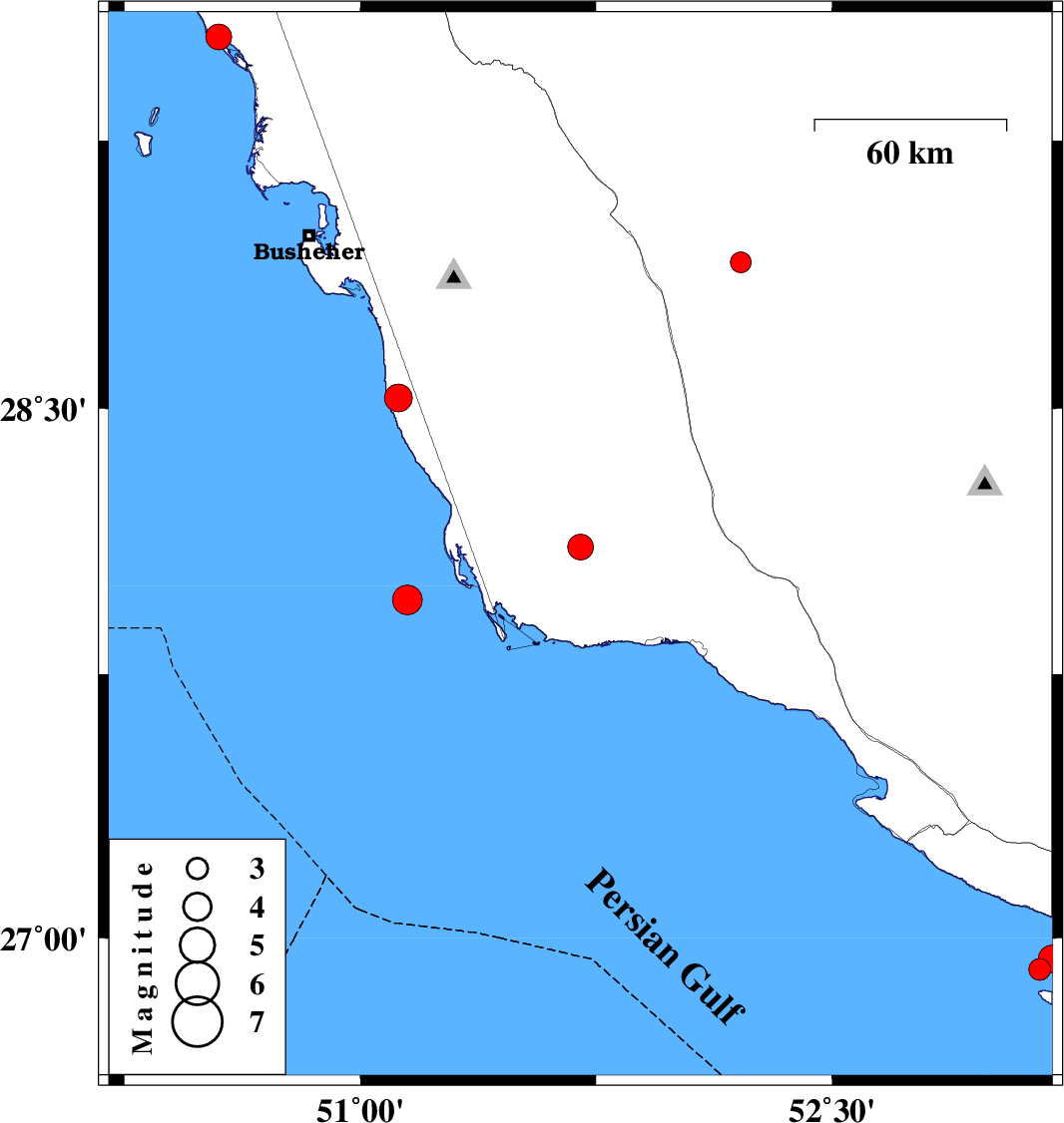
| 2006/11/14 | 08:00:49.1 | 11:30:49.1 | 28.11 | 51.7 | 14 | ML:3.7 | 47 km North-West of Bandar-e kangan, Bushehr Province | ||
| 2006/11/05 | 12:14:23.8 | 15:44:23.8 | 28.91 | 52.21 | 14 | ML:3 | 13 km East of Farashband, Fars Province | ||
| 2006/11/03 | 07:54:08.3 | 11:24:08.3 | 27.96 | 51.15 | 39 | ML:4.3 | Persian Gulf, 79 km South-West of Khormog | ||
| 2006/10/23 | 20:20:00.1 | 23:50:00.1 | 28.53 | 51.12 | 46 | ML:3.9 | 27 km South-West of Khormog, Bushehr Province | ||
| 2006/10/22 | 21:54:18.9 | 01:24:18.9 | 29.54 | 50.55 | 43 | ML:3.6 | Persian Gulf, 4 km Bandar-e genaveh | ||
| 2006/10/17 | 13:39:33.4 | 17:09:33.4 | 26.91 | 53.16 | 45 | ML:3.1 | Persian Gulf, 47 km South of Lamerd | ||
| 2006/10/17 | 12:17:18.2 | 15:47:18.2 | 26.94 | 53.2 | 37 | ML:4 | Persian Gulf, 43 km South of Lamerd |