
| Prel. Rep. | Date | Time(UTC) | Time(Local) | Lat. | Lon. | Depth | Mag. | Region | Waveform |
| 2006/07/18 | 19:59:47.7 | 23:29:47.7 | 30.99 | 51.44 | 17 | ML:4.4 | 14 km North of Sisakht, Kohkiluieh va boyerahmad Province | ||
| 2006/07/15 | 02:41:48.9 | 06:11:48.9 | 32.14 | 50.08 | 14 | ML:2.7 | 36 km South of Chelgard, Chaharmahal Bakhtiari Province | ||
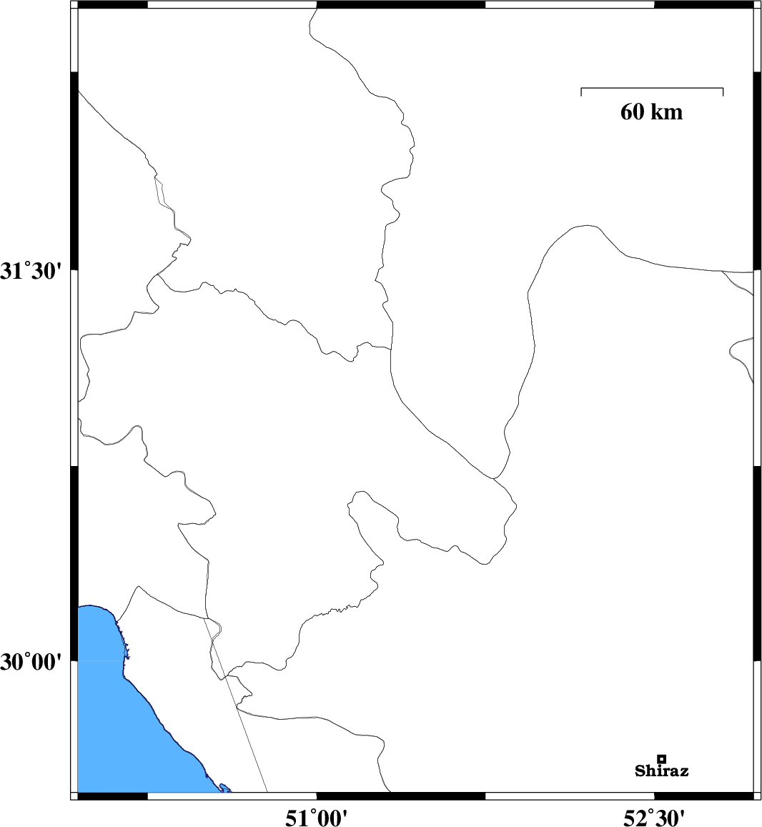
| 2006/07/11 | 23:38:02.0 | 03:08:02.0 | 30.15 | 52.05 | 16 | ML:3.8 | 13 km South of Ardakan, Fars Province | ||
| 2006/07/10 | 06:07:16.9 | 09:37:16.9 | 30.15 | 51.9 | 18 | ML:3.4 | 15 km South of Ardakan, Fars Province | ||
| 2006/07/09 | 12:56:34.8 | 16:26:34.8 | 30.83 | 50.74 | 14 | ML:3 | 16 km East of Dehdasht, Kohkiluieh va boyerahmad Province | ||
| 2006/07/03 | 16:39:28.7 | 20:09:28.7 | 29.8 | 52.06 | 18 | ML:3.2 | 43 km North-East of Kazerun, Fars Province | ||
| 2006/06/26 | 03:56:49.6 | 07:26:49.6 | 31.43 | 50.37 | 14 | ML:3.1 | 42 km West of Lordegan, Chaharmahal Bakhtiari Province | ||
| 2006/06/25 | 11:29:23.5 | 14:59:23.5 | 30.81 | 50.1 | 15 | ML:3.4 | 27 km North-West of Behbahan, Khoozestan Province |