
| Prel. Rep. | Date | Time(UTC) | Time(Local) | Lat. | Lon. | Depth | Mag. | Region | Waveform |
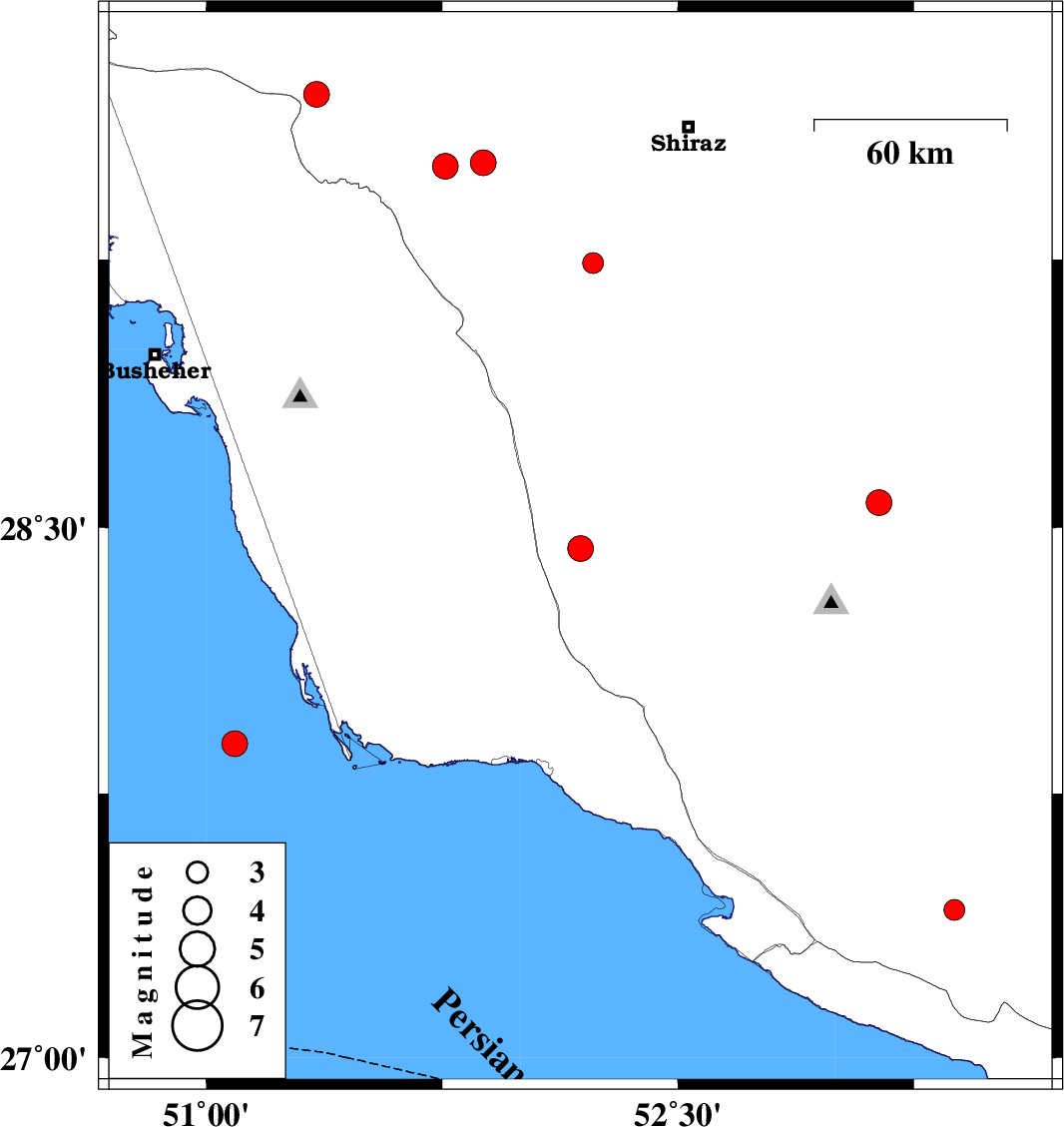
| 2006/05/19 | 21:59:34.5 | 01:29:34.5 | 28.44 | 52.19 | 18 | ML:3.7 | 49 km South-East of Farashband, Fars Province | ||
| 2006/05/15 | 21:06:28.6 | 00:36:28.6 | 29.71 | 51.35 | 14 | ML:3.7 | 31 km West of Kazerun, Fars Province | ||
| 2006/05/01 | 11:01:46.6 | 14:31:46.6 | 29.24 | 52.23 | 18 | ML:3 | 43 km North-East of Farashband, Fars Province | ||
| 2006/04/30 | 07:31:33.6 | 11:01:33.6 | 27.42 | 53.38 | 46 | ML:2.9 | 23 km East of Lamerd, Fars Province | ||
| 2006/04/29 | 10:27:44.0 | 13:57:44.0 | 27.89 | 51.09 | 18 | ML:3.7 | Persian Gulf, 88 km South-West of Khormog | ||
| 2006/04/25 | 13:33:56.7 | 17:03:56.7 | 29.52 | 51.88 | 16 | ML:3.7 | 25 km South-East of Kazerun, Fars Province | ||
| 2006/04/23 | 07:53:31.3 | 11:23:31.3 | 28.57 | 53.14 | 14 | ML:3.6 | 15 km North-East of Qir va Karzin, Fars Province | ||
| 2006/04/21 | 09:52:18.3 | 13:22:18.3 | 29.51 | 51.76 | 29 | ML:3.6 | 16 km South-East of Kazerun, Fars Province |