
| Prel. Rep. | Date | Time(UTC) | Time(Local) | Lat. | Lon. | Depth | Mag. | Region | Waveform |
| 2025/02/11 | 04:39:16.2 | 08:09:16.2 | 30.829 | 57.681 | 12 | ML:2.6 | Kerman Province, 106 km -East of Zarand | ||
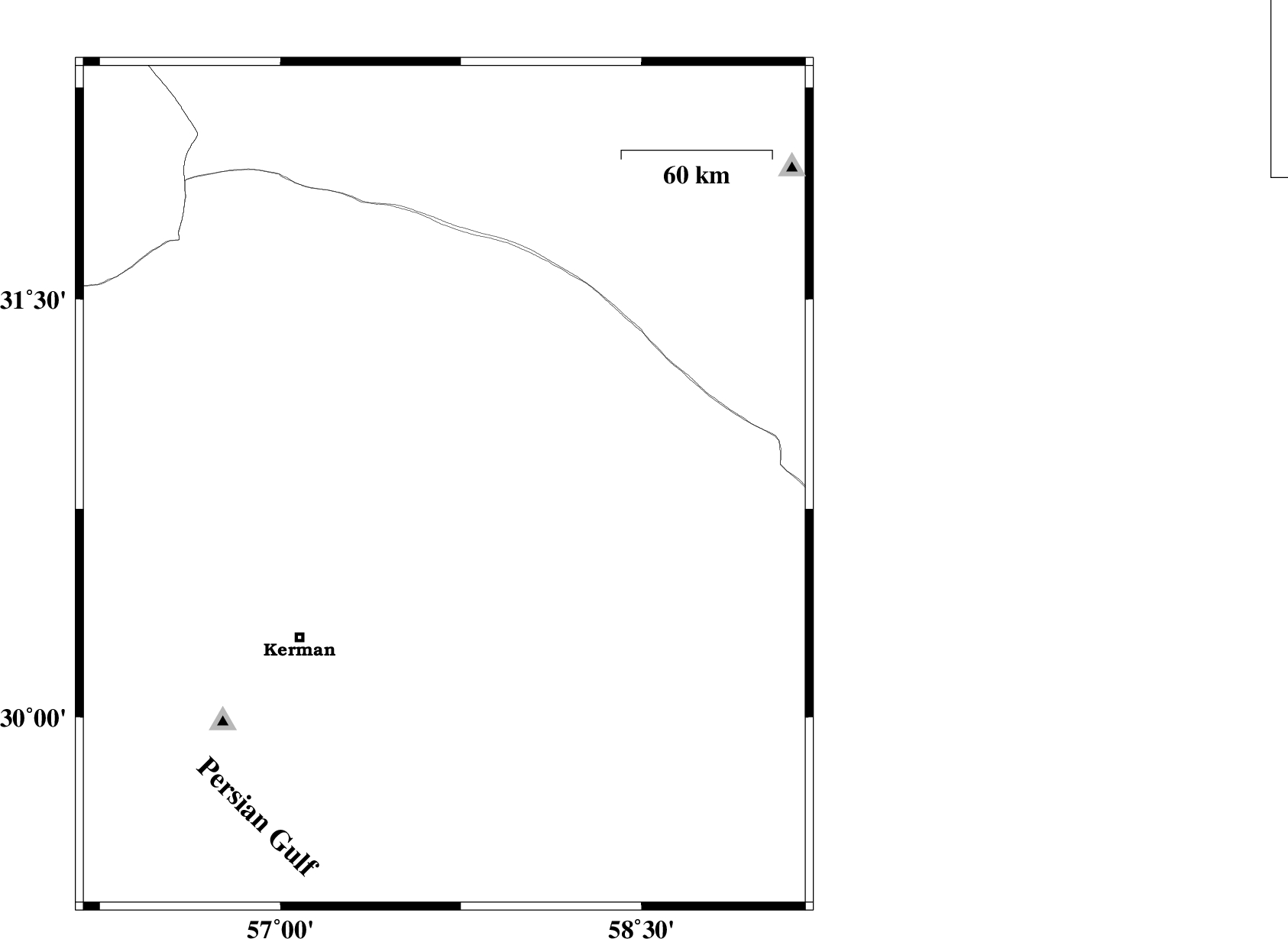
| 2025/01/25 | 15:15:59.0 | 18:45:59.0 | 30.044 | 57.963 | 12 | ML:3.2 | Kerman Province, 89 km South-East of Kerman | ||
| 2025/01/19 | 12:01:14.5 | 15:31:14.5 | 30.892 | 57.434 | 10 | ML:3 | Kerman Province, 83 km -East of Zarand | ||
| 2025/01/17 | 20:52:41.1 | 00:22:41.1 | 30.588 | 57.447 | 12 | ML:3.3 | Kerman Province, 49 km North-East of Kerman | ||
| 2025/01/17 | 07:35:01.9 | 11:05:01.9 | 29.984 | 57.802 | 12 | ML:3.7 | Kerman Province, 77 km South-East of Kerman | ||
| 2025/01/13 | 09:53:41.9 | 13:23:41.9 | 31.454 | 59.061 | 12 | ML:3.1 | Khorasan(south) Province, 93 km -West of Nehbandan | ||
| 2025/01/12 | 05:40:46.5 | 09:10:46.5 | 32.034 | 58.512 | 12 | ML:3.4 | Khorasan(south) Province, 117 km South-West of Birjand |