
| Prel. Rep. | Date | Time(UTC) | Time(Local) | Lat. | Lon. | Depth | Mag. | Region | Waveform |
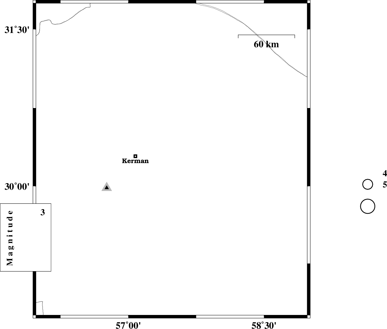
| 2015/12/01 | 09:03:21.3 | 12:33:21.3 | 30.248 | 57.478 | 14 | ML:3 | Kerman Province, 39 km -East of Kerman | ||
| 2015/11/28 | 17:41:01.6 | 21:11:01.6 | 31.049 | 57.231 | 18 | ML:2.1 | Kerman Province, 47 km South-East of Ravar | ||
| 2015/11/28 | 06:35:03.8 | 10:05:03.8 | 29.966 | 57.808 | 14 | ML:2.5 | Kerman Province, 79 km South-East of Kerman | ||
| 2015/11/26 | 02:15:12.2 | 05:45:12.2 | 30.815 | 56.522 | 14 | ML:2.1 | Kerman Province, 4 km of Zarand | ||
| 2015/11/25 | 17:35:31.0 | 21:05:31.0 | 29.82 | 57.873 | 17 | ML:2.2 | Kerman Province, 92 km North-West of Bam |