
| Prel. Rep. | Date | Time(UTC) | Time(Local) | Lat. | Lon. | Depth | Mag. | Region | Waveform |
| 2015/11/15 | 08:04:28.0 | 11:34:28.0 | 36.82 | 55.163 | 16 | ML:1.8 | Golestan Province, 22 km South of Ramian | ||
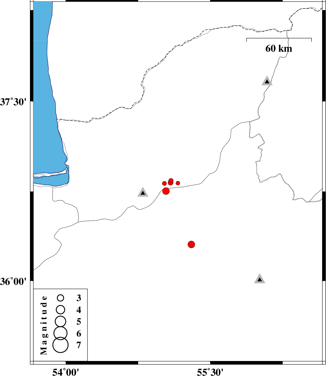
| 2015/11/15 | 07:32:26.5 | 11:02:26.5 | 36.818 | 55.023 | 14 | ML:2 | Golestan Province, 17 km -East of Ali Abad | ||
| 2015/11/14 | 22:31:09.6 | 02:01:09.6 | 36.754 | 55.04 | 16 | ML:3.2 | Semnan Province, 23 km South-East of Ali Abad | ||
| 2015/11/13 | 17:37:52.6 | 21:07:52.6 | 36.841 | 55.091 | 14 | ML:2.1 | Golestan Province, 20 km South of Ramian | ||
| 2015/11/10 | 16:25:33.3 | 19:55:33.3 | 36.306 | 55.303 | 14 | ML:3.2 | Semnan Province, 33 km South-East of Shahrud | ||
| 2015/11/10 | 01:08:08.9 | 04:38:08.9 | 36.824 | 55.087 | 7 | ML:2.4 | Golestan Province, 22 km South of Ramian |