
| Prel. Rep. | Date | Time(UTC) | Time(Local) | Lat. | Lon. | Depth | Mag. | Region | Waveform |
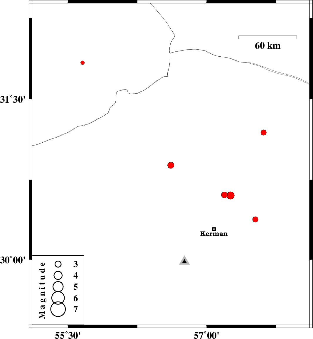
| 2015/10/11 | 00:47:42.0 | 04:17:42.0 | 30.885 | 56.612 | 14 | ML:3.1 | Kerman Province, 9 km of Zarand | ||
| 2015/10/10 | 17:53:28.3 | 21:23:28.3 | 31.19 | 57.616 | 17 | ML:2.7 | Kerman Province, 77 km -East of Ravar | ||
| 2015/10/09 | 17:17:01.4 | 20:47:01.4 | 30.608 | 57.191 | 16 | ML:3 | Kerman Province, 37 km North-East of Kerman | ||
| 2015/10/09 | 06:55:55.9 | 10:25:55.9 | 30.603 | 57.259 | 14 | ML:3.7 | Kerman Province, 39 km North-East of Kerman | ||
| 2015/10/06 | 05:58:28.6 | 09:28:28.6 | 30.378 | 57.527 | 18 | ML:2.7 | Kerman Province, 44 km -East of Kerman | ||
| 2015/10/04 | 10:23:08.1 | 13:53:08.1 | 31.837 | 55.658 | 6 | ML:1.9 | Yazd Province, 36 km North-East of Bafq |