
| Prel. Rep. | Date | Time(UTC) | Time(Local) | Lat. | Lon. | Depth | Mag. | Region | Waveform |
| 2015/08/17 | 20:50:33.5 | 01:20:33.5 | 36.829 | 55.037 | 14 | ML:2.5 | Golestan Province, 17 km -East of Ali Abad | ||
| 2015/08/17 | 20:37:20.0 | 01:07:20.0 | 36.822 | 55.085 | 6 | ML:2.7 | Golestan Province, 22 km South of Ramian | ||
| 2015/08/17 | 18:15:30.0 | 22:45:30.0 | 36.84 | 55.194 | 16 | ML:3.1 | Golestan Province, 20 km South of Ramian | ||
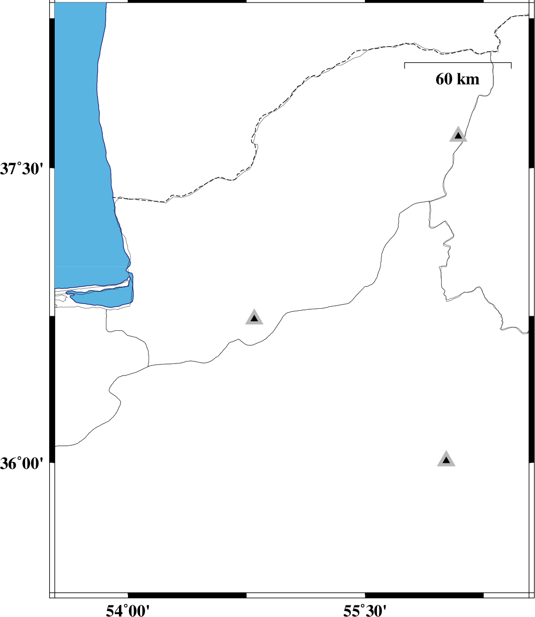
| 2015/08/17 | 17:36:00.9 | 22:06:00.9 | 36.348 | 55.284 | 6 | ML:4.3 | Semnan Province, 29 km -East of Shahrud | ||
| 2015/08/17 | 12:03:05.7 | 16:33:05.7 | 36.205 | 53.772 | 14 | ML:2.7 | Mazandaran Province, 52 km -West of Damghan | ||
| 2015/08/14 | 03:18:09.4 | 07:48:09.4 | 36.693 | 55.173 | 14 | ML:2.6 | Semnan Province, 36 km South of Ramian | ||
| 2015/08/10 | 16:07:32.5 | 20:37:32.5 | 36.678 | 55.074 | 15 | ML:3.9 | Semnan Province, 30 km North-East of Shahrud |