
| Prel. Rep. | Date | Time(UTC) | Time(Local) | Lat. | Lon. | Depth | Mag. | Region | Waveform |
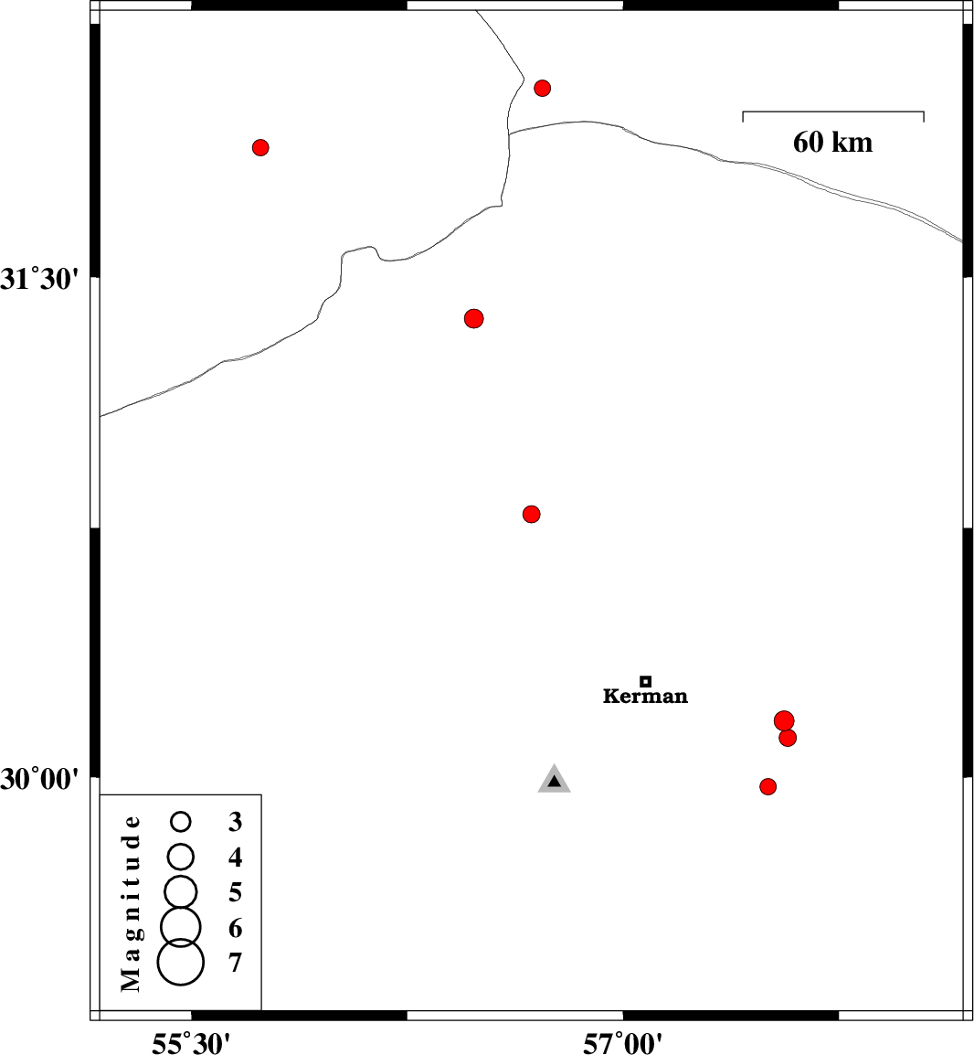
| 2015/08/14 | 16:00:40.1 | 20:30:40.1 | 30.791 | 56.681 | 14 | ML:2.7 | Kerman Province, 11 km -East of Zarand | ||
| 2015/08/14 | 07:06:58.5 | 11:36:58.5 | 31.375 | 56.481 | 15 | ML:3 | Kerman Province, 34 km North-West of Ravar | ||
| 2015/08/13 | 08:09:06.5 | 12:39:06.5 | 31.884 | 55.74 | 14 | ML:2.5 | Yazd Province, 45 km North-East of Bafq | ||
| 2015/08/11 | 00:09:04.3 | 04:39:04.3 | 32.06 | 56.719 | 14 | ML:2.5 | Yazd Province, 89 km North of Ravar | ||
| 2015/08/10 | 22:39:14.2 | 03:09:14.2 | 30.17 | 57.559 | 14 | ML:3.1 | Kerman Province, 48 km South-East of Kerman | ||
| 2015/08/10 | 18:50:56.1 | 23:20:56.1 | 30.119 | 57.572 | 18 | ML:2.7 | Kerman Province, 51 km South-East of Kerman | ||
| 2015/08/09 | 13:45:12.8 | 18:15:12.8 | 29.971 | 57.504 | 30 | ML:2.6 | Kerman Province, 54 km South-East of Kerman |