
Magnitude |
:2.2 |
| Date & Time (UTC) | 2015-06-18 09:59:52.6 |
| Date & Time (Local) | 1394/3/28 14:29:52.6 |
| Location | Lat:31.74 Lon: 55.44 |
| Region | Yazd Province, 16 km North of Bafq |
Nearest Cities |
|
| 13 km North of Mobarake, Yazd Province | |
| 16 km North of Bafq, Yazd Province | |
| 33 km North West of Kushk, Yazd Province | |
| 57 km South West of Behabad, Yazd Province | |
| 59 km North West of Basab, Yazd Province | |
| Depth | 7 km |
| Agency | |
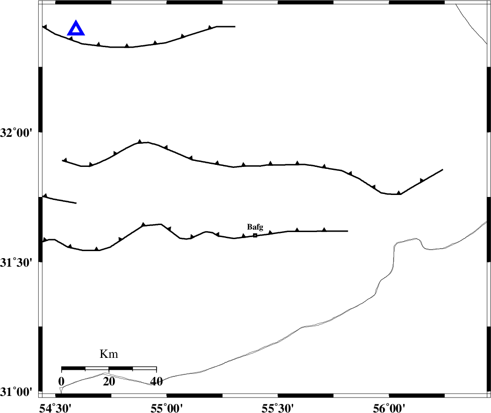
Faults within 150 km: |
|
| POSHT_E_BADAM_F (Length: 128 km) , Distance to epicenter: 24 km | |
| DARIVAN_F (Length: 131 km) , Distance to epicenter: 39 km | |
| ANAR_F (Length: 91 km) , Distance to epicenter: 40 km | |
| Number of Phases | 5 |
| RMS | 0.2 |
| Number of Stations | 5 |
| Error in Latitude | >3.6 km |
| Error in Longitude | 3.7 km |
| Error in Depth | 6.9 km |
Download waveform in seisan format
to download seisan software Click here
to access information about IIEES stations Click here
Amplitude | ||||||||
| UID | Agency | Station | Component | Amplitude | Period | Arrival Time | Proccessing Time | Signal Clip |
| 95976 | IIEES | KRBR | E | 20.5 | 0.4 | 2015-06-18 10:01:04 | 2015-06-18 03:43:00 | n |
| 95977 | IIEES | KRBR | N | 15.7 | 0.28 | 2015-06-18 10:01:08 | 2015-06-18 03:43:00 | n |
Phase | ||||||||||||
| Agency | Station | Component | Phase Type | Phase Quality | First Motion | Observed Arrival Time | Time Residual | Loc. Flag | Input Weight | Distance | Azimuth | |
| IIEES | YZKH | Z | Pg | E | 2015-06-18 10:00:11 | 0 | y | 108 | 312 | |||
| IIEES | KRBR | N | Pn | E | 2015-06-18 10:00:30 | 0.13 | y | 232 | 147 | |||
| IIEES | TABS | Z | Pn | E | 2015-06-18 10:00:34 | 0.21 | y | 264 | 36 | |||
| IIEES | NASN | Z | Pn | E | 2015-06-18 10:00:35 | -0.08 | y | 275 | 296 | |||
| IIEES | BSRN | Z | Pn | E | 2015-06-18 10:00:44 | -0.31 | y | 349 | 85 | |||