
Magnitude |
:2.6 |
| Date & Time (UTC) | 2015-06-17 05:08:59.8 |
| Date & Time (Local) | 1394/3/27 09:38:59.8 |
| Location | Lat:33.07 Lon: 49.58 |
| Region | Lorestan Province, 39 km South-West of Aligudarz |
Nearest Cities |
|
| 21 km North East of Parchal, Lorestan Province | |
| 24 km South West of Shapoorabad, Lorestan Province | |
| 24 km South West of Shapoorabad, Lorestan Province | |
| 27 km West of Farsesh, Lorestan Province | |
| 36 km North West of Masir, Esfahan Province | |
| Depth | 14 km |
| Agency | |
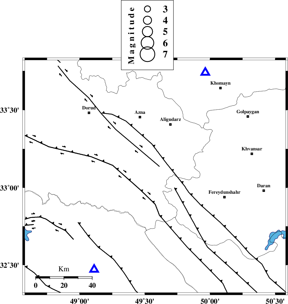
Faults within 150 km: |
|
| ARDAL_F (Length: 170 km) , Distance to epicenter: 8 km | |
| DORUD (Length: 100 km) , Distance to epicenter: 11 km | |
| MAIN_ZAGROS_R_F (Length: 1106 km) , Distance to epicenter: 11 km | |
| Number of Phases | 6 |
| RMS | 0.1 |
| Number of Stations | 4 |
| Error in Latitude | >4 km |
| Error in Longitude | 9.6 km |
| Error in Depth | 7.6 km |
Download waveform in seisan format
to download seisan software Click here
to access information about IIEES stations Click here
Amplitude | ||||||||
| UID | Agency | Station | Component | Amplitude | Period | Arrival Time | Proccessing Time | Signal Clip |
| 95964 | IIEES | SHGR | N | 197.5 | 0.57 | 2015-06-17 05:09:38 | 2015-06-17 06:53:00 | n |
| 95965 | IIEES | SHGR | E | 140.3 | 0.51 | 2015-06-17 05:09:38 | 2015-06-17 06:53:00 | n |
| 95966 | IIEES | ASAO | E | 53 | 0.68 | 2015-06-17 05:09:52 | 2015-06-17 06:53:00 | n |
| 95967 | IIEES | ASAO | N | 45.9 | 0.3 | 2015-06-17 05:09:53 | 2015-06-17 06:53:00 | n |
Phase | ||||||||||||
| Agency | Station | Component | Phase Type | Phase Quality | First Motion | Observed Arrival Time | Time Residual | Loc. Flag | Input Weight | Distance | Azimuth | |
| IIEES | KHMZ | Z | Pg | E | 2015-06-17 05:09:13 | -0.14 | y | 82.5 | 26 | |||
| IIEES | SHGR | Z | Pg | E | 2015-06-17 05:09:21 | 0.03 | y | 129 | 215 | |||
| IIEES | SHGR | E | Sg | E | 2015-06-17 05:09:37 | 0 | y | 129 | 215 | |||
| IIEES | ASAO | Z | Pg | E | 2015-06-17 05:09:27 | -0.1 | y | 169 | 14 | |||
| IIEES | ASAO | E | Sg | E | 2015-06-17 05:09:48 | 0.12 | y | 169 | 14 | |||
| IIEES | GHVR | Z | Pn | E | 2015-06-17 05:09:34 | 0.1 | y | 220 | 44 | |||