
Magnitude |
:2.8 |
| Date & Time (UTC) | 2015-05-31 17:10:23.0 |
| Date & Time (Local) | 1394/3/10 21:40:23.0 |
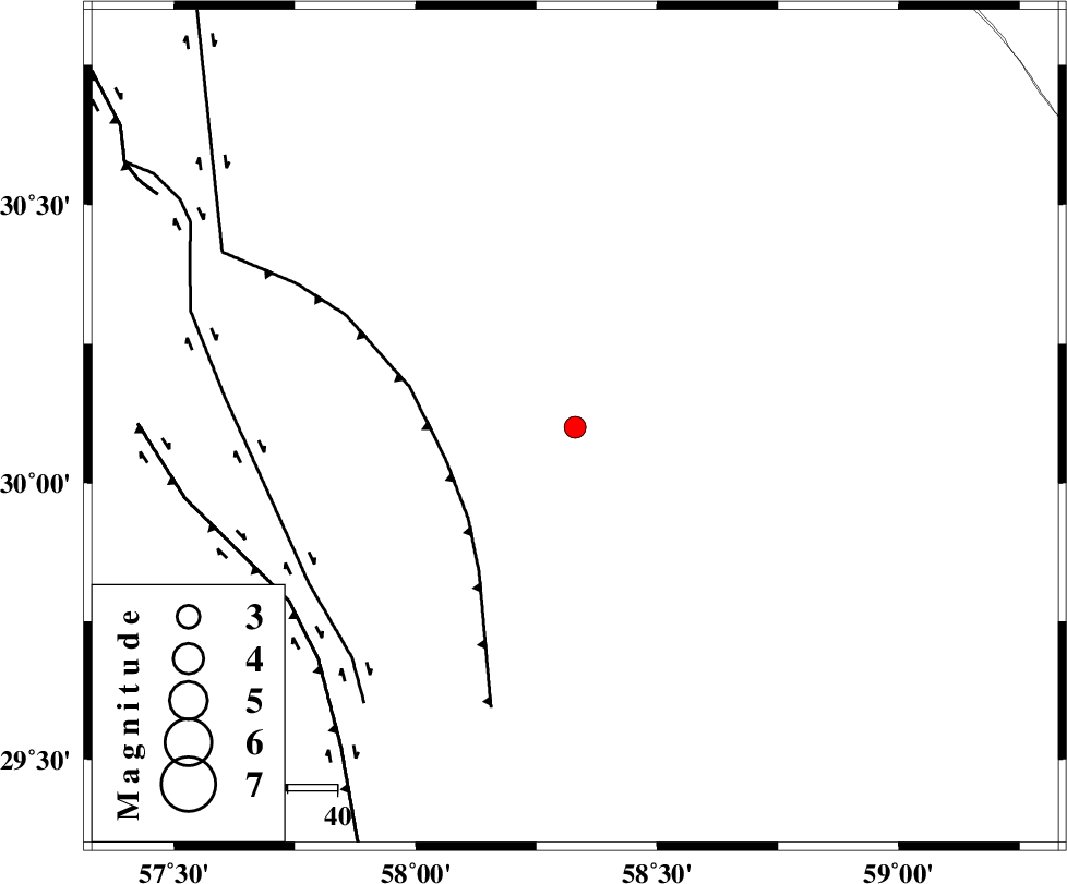
| Location | Lat:30.1 Lon: 58.33 |
| Region | Kerman Province, 110 km North of Bam |
Nearest Cities |
|
| 33 km North East of Geshit, Kerman Province | |
| 58 km North East of Golbaft, Kerman Province | |
| 59 km South East of Estehkam, Kerman Province | |
| 68 km East of Jushan, Kerman Province | |
| 70 km South East of Shahdad, Kerman Province | |
| Depth | 17 km |
| Agency | |
Faults within 150 km: |
|
| SHAHDAD_F (Length: 108 km) , Distance to epicenter: 27 km | |
| GOLBAF_SIRCH_F (Length: 114 km) , Distance to epicenter: 62 km | |
| GOWK_F (Length: 152 km) , Distance to epicenter: 67 km | |
| Number of Phases | 5 |
| RMS | 0 |
| Number of Stations | 4 |
| Error in Latitude | >1.2 km |
| Error in Longitude | 1.2 km |
| Error in Depth | 2.8 km |
Download waveform in seisan format
to download seisan software Click here
to access information about IIEES stations Click here
Amplitude | ||||||||
| UID | Agency | Station | Component | Amplitude | Period | Arrival Time | Proccessing Time | Signal Clip |
| 95842 | IIEES | TABS | N | 14.8 | 0.4 | 2015-05-31 17:12:33 | 2015-05-31 09:06:00 | n |
Phase | ||||||||||||
| Agency | Station | Component | Phase Type | Phase Quality | First Motion | Observed Arrival Time | Time Residual | Loc. Flag | Input Weight | Distance | Azimuth | |
| IIEES | KRBR | Z | Pg | E | 2015-05-31 17:10:48 | 0 | y | 152 | 266 | |||
| IIEES | BSRN | Z | Pn | E | 2015-05-31 17:10:57 | -0.04 | y | 221 | 20 | |||
| IIEES | BSRN | N | Sg | E | 2015-05-31 17:11:25 | 0.02 | y | 221 | 20 | |||
| IIEES | ZHSF | Z | Pn | E | 2015-05-31 17:11:00 | 0.04 | y | 242 | 102 | |||
| IIEES | ZHSF | N | Sg | E | 2015-05-31 17:11:31 | -0.02 | y | 242 | 102 | |||