
Magnitude |
:3.3 |
| Date & Time (UTC) | 2015-05-27 21:11:15.4 |
| Date & Time (Local) | 1394/3/7 01:41:15.4 |
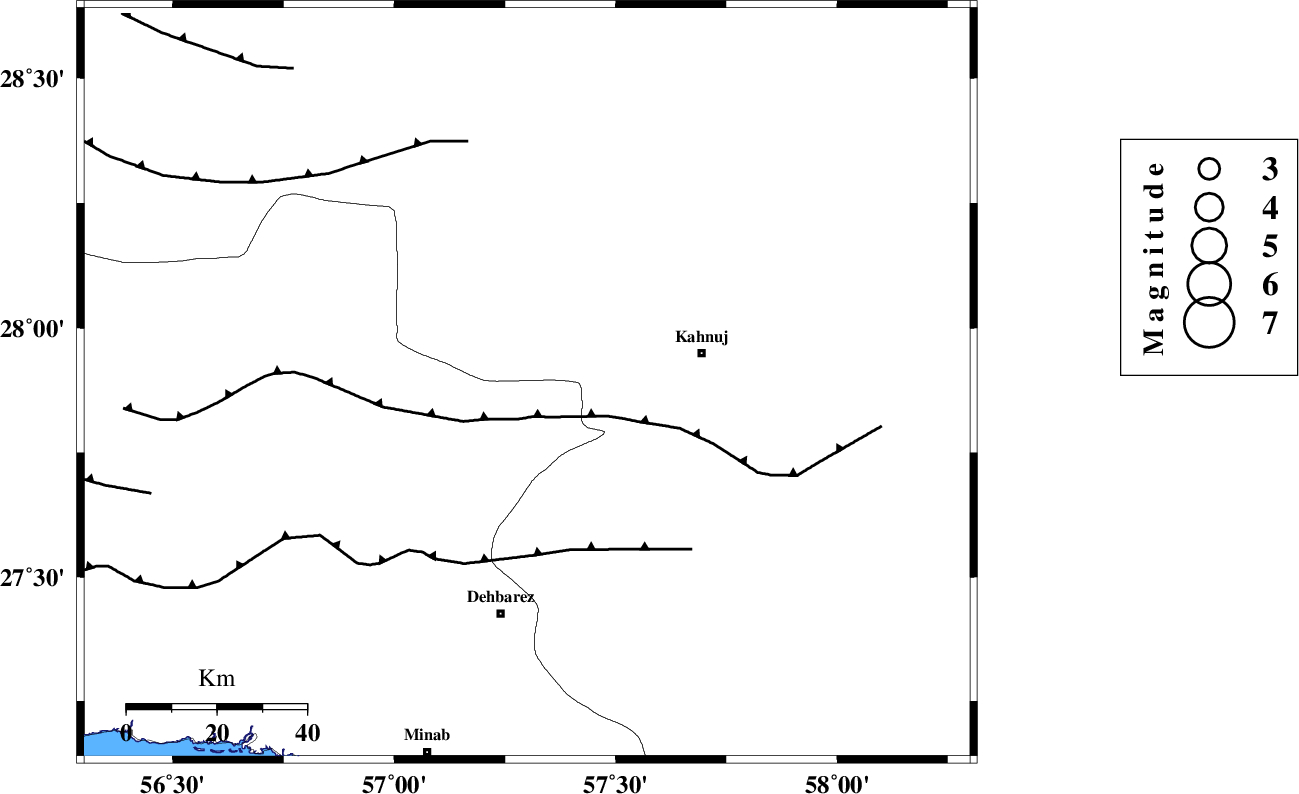
| Location | Lat:27.89 Lon: 57.3 |
| Region | Hormozgan Province, 40 km West of Kahnuj |
Nearest Cities |
|
| 8 km North of Fariab, Hormozgan Province | |
| 18 km North of Ziaratali, Hormozgan Province | |
| 20 km South of Faryab, Kerman Province | |
| 25 km South West of Mehrueye-e paeen, Kerman Province | |
| 34 km South of Hurpasefid, Kerman Province | |
| Depth | 14 km |
| Agency | |
Faults within 150 km: |
|
| SABZEVARAN_F (Length: 190 km) , Distance to epicenter: 37 km | |
| ZENDAN_MINAB_F_Z1 (Length: 183 km) , Distance to epicenter: 42 km | |
| MAIN_ZAGROS_R_F (Length: 1106 km) , Distance to epicenter: 43 km | |
| Number of Phases | 5 |
| RMS | 0.1 |
| Number of Stations | 3 |
| Error in Latitude | >2.4 km |
| Error in Longitude | 5.7 km |
| Error in Depth | 7.1 km |
Download waveform in seisan format
to download seisan software Click here
to access information about IIEES stations Click here
Amplitude | ||||||||
| UID | Agency | Station | Component | Amplitude | Period | Arrival Time | Proccessing Time | Signal Clip |
| 95808 | IIEES | BNDS | E | 729.1 | 0.4 | 2015-05-27 21:11:54 | 2015-05-27 10:43:00 | n |
Phase | ||||||||||||
| Agency | Station | Component | Phase Type | Phase Quality | First Motion | Observed Arrival Time | Time Residual | Loc. Flag | Input Weight | Distance | Azimuth | |
| IIEES | BNDS | Z | Pg | E | 2015-05-27 21:11:36 | -0.07 | y | 123 | 244 | |||
| IIEES | BNDS | E | Sg | E | 2015-05-27 21:11:51 | 0.02 | y | 123 | 244 | |||
| IIEES | KRBR | Z | Pn | E | 2015-05-27 21:11:53 | 0.17 | y | 238 | 347 | |||
| IIEES | KRBR | E | Sg | E | 2015-05-27 21:12:22 | -0.05 | y | 238 | 347 | |||
| IIEES | BSRN | Z | Pn | E | 2015-05-27 21:12:23 | -0.1 | y | 485 | 21 | |||