
Magnitude |
:3.1 |
| Date & Time (UTC) | 2015-05-17 21:42:34.1 |
| Date & Time (Local) | 1394/2/28 02:12:34.1 |
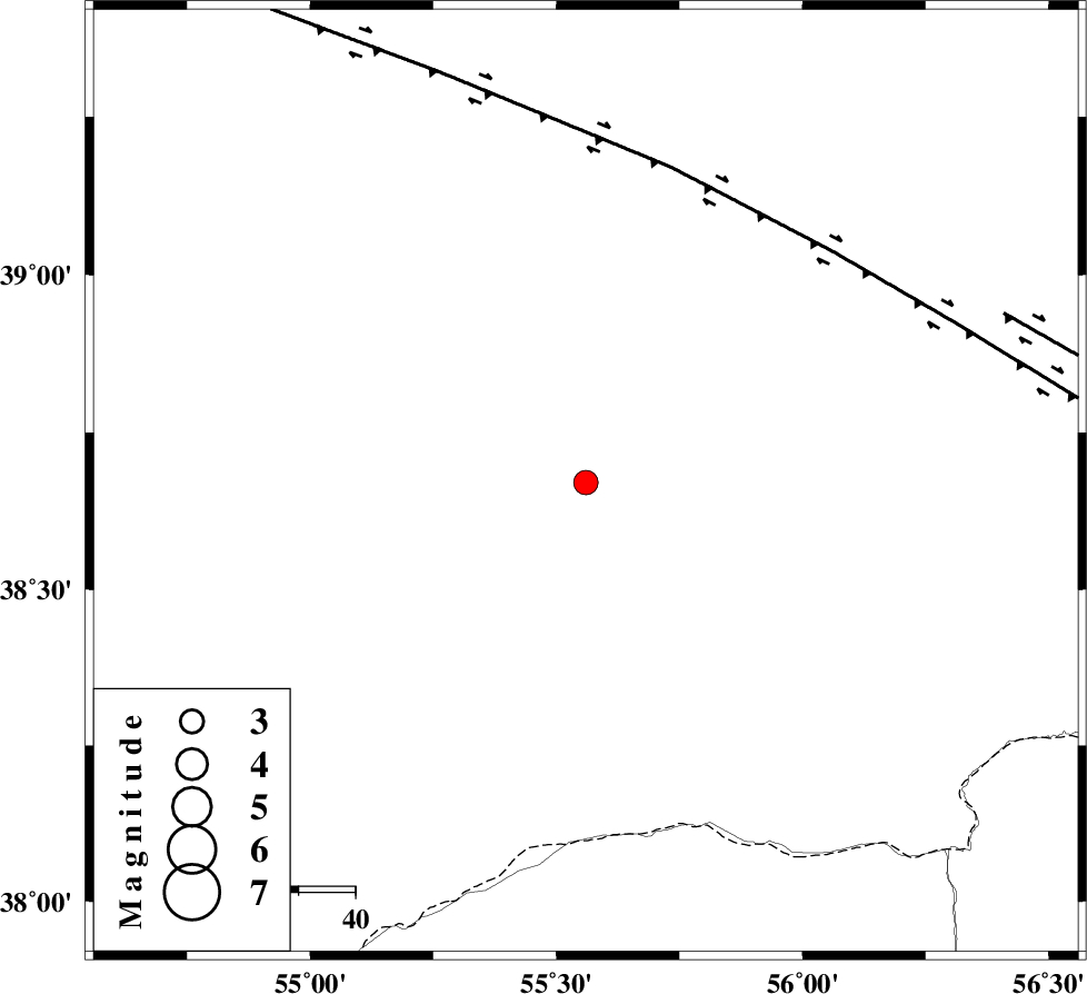
| Location | Lat:38.67 Lon: 55.56 |
| Region | Turkmenistan |
Nearest Cities |
|
| 79 km North of Karand, Golestan Province | |
| 92 km North West of Moravehtappeh, Golestan Province | |
| 100 km North of Qareh aghaj, Golestan Province | |
| 104 km North West of Qazanqayeh, Golestan Province | |
| 115 km North West of Yekehsoud-e paeen, Khorasan(north) Province | |
| Depth | 14 km |
| Agency | |
Faults within 150 km: |
|
| MAIN_KOPEHDAGH_F1 (Length: 318 km) , Distance to epicenter: 58 km | |
| MAIN_KOPEHDAGH_F2 (Length: 131 km) , Distance to epicenter: 79 km | |
| Number of Phases | 8 |
| RMS | 0.1 |
| Number of Stations | 6 |
| Error in Latitude | >4.1 km |
| Error in Longitude | 3.6 km |
| Error in Depth | 5.5 km |
Download waveform in seisan format
to download seisan software Click here
to access information about IIEES stations Click here
Amplitude | ||||||||
| UID | Agency | Station | Component | Amplitude | Period | Arrival Time | Proccessing Time | Signal Clip |
| 95730 | IIEES | MRVT | N | 257.7 | 0.48 | 2015-05-17 21:43:14 | 2015-05-18 03:25:00 | n |
| 95731 | IIEES | BJRD | E | 272.2 | 0.8 | 2015-05-17 21:43:36 | 2015-05-18 03:25:00 | n |
Phase | ||||||||||||
| Agency | Station | Component | Phase Type | Phase Quality | First Motion | Observed Arrival Time | Time Residual | Loc. Flag | Input Weight | Distance | Azimuth | |
| IIEES | MRVT | Z | Pg | E | 2015-05-17 21:42:54 | -0.21 | y | 122 | 157 | |||
| IIEES | MRVT | E | Sg | E | 2015-05-17 21:43:09 | 0.05 | y | 122 | 157 | |||
| IIEES | BJRD | Z | Pn | E | 2015-05-17 21:43:06 | -0.05 | y | 195 | 123 | |||
| IIEES | BJRD | E | Sg | E | 2015-05-17 21:43:29 | 0.06 | y | 195 | 123 | |||
| IIEES | SHRO | Z | Pn | E | 2015-05-17 21:43:19 | 0.14 | y | 298 | 172 | |||
| IIEES | TABS | Z | Pn | E | 2015-05-17 21:43:53 | -0.05 | y | 575 | 165 | |||
| IIEES | SHRT | Z | Pn | E | 2015-05-17 21:44:08 | 0.01 | y | 701 | 141 | |||
| IIEES | BSRN | Z | Pn | E | 2015-05-17 21:44:22 | 0.14 | y | 812 | 155 | |||