
Magnitude |
:2.7 |
| Date & Time (UTC) | 2015-05-08 23:28:11.6 |
| Date & Time (Local) | 1394/2/19 03:58:11.6 |
| Location | Lat:30.93 Lon: 51.43 |
| Region | Kohkiluieh va boyerahmad Province, 8 km Sisakht |
Nearest Cities |
|
| 8 km North of Sisakht, Kohkiluieh va boyerahmad Province | |
| 13 km North of Kerik, Kohkiluieh va boyerahmad Province | |
| 20 km North East of Chitab, Kohkiluieh va boyerahmad Province | |
| 22 km South West of Kameh, Esfahan Province | |
| 29 km South East of Meymand, Kohkiluieh va boyerahmad Province | |
| Depth | 15 km |
| Agency | |
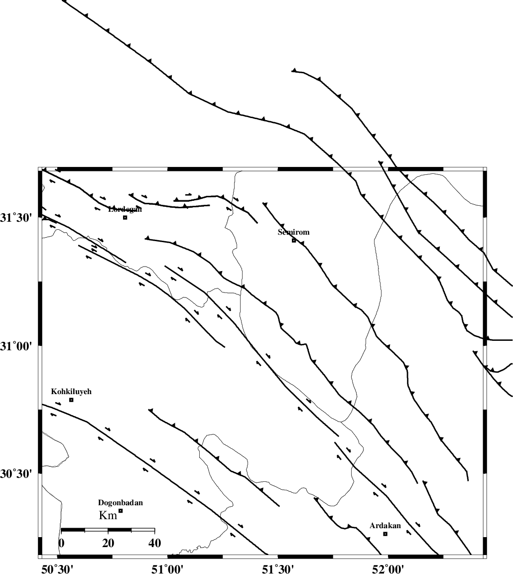
Faults within 150 km: |
|
| DENA_F (Length: 137 km) , Distance to epicenter: 7 km | |
| HZF3 (Length: 197 km) , Distance to epicenter: 33 km | |
| KAZERUN_F (Length: 96 km) , Distance to epicenter: 49 km | |
| Number of Phases | 6 |
| RMS | 0.1 |
| Number of Stations | 5 |
| Error in Latitude | >1.7 km |
| Error in Longitude | 3.2 km |
| Error in Depth | 6.8 km |
Download waveform in seisan format
to download seisan software Click here
to access information about IIEES stations Click here
Amplitude | ||||||||
| UID | Agency | Station | Component | Amplitude | Period | Arrival Time | Proccessing Time | Signal Clip |
| 95612 | IIEES | AHRM | E | 49.1 | 0.48 | 2015-05-08 23:29:24 | 2015-05-09 01:19:00 | n |
| 95613 | IIEES | AHRM | N | 52 | 0.6 | 2015-05-08 23:29:26 | 2015-05-09 01:19:00 | n |
| 95614 | IIEES | NASN | E | 52.3 | 0.4 | 2015-05-08 23:29:23 | 2015-05-09 01:19:00 | n |
| 95615 | IIEES | NASN | N | 51.5 | 0.32 | 2015-05-08 23:29:25 | 2015-05-09 01:19:00 | n |
| 95616 | IIEES | ASAO | N | 11.2 | 0.56 | 2015-05-08 23:30:29 | 2015-05-09 01:19:00 | n |
| 95617 | IIEES | ASAO | E | 10.2 | 0.64 | 2015-05-08 23:30:33 | 2015-05-09 01:19:00 | n |
Phase | ||||||||||||
| Agency | Station | Component | Phase Type | Phase Quality | First Motion | Observed Arrival Time | Time Residual | Loc. Flag | Input Weight | Distance | Azimuth | |
| IIEES | AHRM | Z | Pn | E | 2015-05-08 23:28:47 | -0.01 | y | 229 | 183 | |||
| IIEES | AHRM | N | Sg | E | 2015-05-08 23:29:16 | 0 | y | 229 | 183 | |||
| IIEES | NASN | Z | Pn | E | 2015-05-08 23:28:49 | -0.09 | y | 245 | 32 | |||
| IIEES | YZKH | Z | Pn | E | 2015-05-08 23:29:01 | 0.07 | y | 341 | 61 | |||
| IIEES | KHMZ | Z | Pn | E | 2015-05-08 23:29:01 | -0.08 | y | 341 | 337 | |||
| IIEES | ASAO | Z | Pn | E | 2015-05-08 23:29:12 | 0.15 | y | 422 | 342 | |||