
Magnitude |
:3.6 |
| Date & Time (UTC) | 2015-05-02 09:52:11.9 |
| Date & Time (Local) | 1394/2/12 14:22:11.9 |
| Location | Lat:31.62 Lon: 50.34 |
| Region | Khoozestan Province, 44 km East of Bagh Malek |
Nearest Cities |
|
| 15 km South of Dehdez, Khoozestan Province | |
| 24 km South West of Sarkhun, Chaharmahal Bakhtiari Province | |
| 34 km North East of Abolabbas, Khoozestan Province | |
| 37 km North of Dishmuk, Kohkiluieh va boyerahmad Province | |
| 38 km North of Esfandan, Kohkiluieh va boyerahmad Province | |
| Depth | 15 km |
| Agency | |
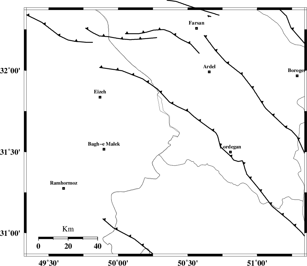
Faults within 150 km: |
|
| SABZKUH_F (Length: 67 km) , Distance to epicenter: 20 km | |
| DOPOLAN_F (Length: 107 km) , Distance to epicenter: 29 km | |
| MFF2 (Length: 205 km) , Distance to epicenter: 31 km | |
| Number of Phases | 5 |
| RMS | 0.1 |
| Number of Stations | 5 |
| Error in Latitude | >10.3 km |
| Error in Longitude | 1.3 km |
| Error in Depth | 0 km |
Download waveform in seisan format
to download seisan software Click here
to access information about IIEES stations Click here
Amplitude | ||||||||
| UID | Agency | Station | Component | Amplitude | Period | Arrival Time | Proccessing Time | Signal Clip |
| 95552 | IIEES | ASAO | E | 162.1 | 0.6 | 2015-05-02 09:53:49 | 2015-05-02 11:20:00 | n |
| 95553 | IIEES | GHVR | N | 213.5 | 0.68 | 2015-05-02 09:53:50 | 2015-05-02 11:20:00 | n |
Phase | ||||||||||||
| Agency | Station | Component | Phase Type | Phase Quality | First Motion | Observed Arrival Time | Time Residual | Loc. Flag | Input Weight | Distance | Azimuth | |
| IIEES | KHMZ | Z | Pn | E | 2015-05-02 09:52:49 | -0.01 | y | 238 | 352 | |||
| IIEES | NASN | Z | Pn | E | 2015-05-02 09:52:52 | -0.07 | y | 267 | 60 | |||
| IIEES | ASAO | Z | Pn | E | 2015-05-02 09:53:00 | -0.02 | y | 327 | 355 | |||
| IIEES | GHVR | Z | Pn | E | 2015-05-02 09:53:00 | 0.07 | y | 329 | 15 | |||
| IIEES | YZKH | Z | Pn | E | 2015-05-02 09:53:10 | 0.06 | y | 410 | 77 | |||