
Magnitude |
:2.5 |
| Date & Time (UTC) | 2015-05-01 00:40:33.6 |
| Date & Time (Local) | 1394/2/11 05:10:33.6 |
| Location | Lat:32.21 Lon: 48.63 |
| Region | Khoozestan Province, 35 km East of Shush |
Nearest Cities |
|
| 18 km West of Gatvand, Khoozestan Province | |
| 21 km South of Mahur berenji, Khoozestan Province | |
| 21 km North West of Samaleh, Khoozestan Province | |
| 21 km East of Shamsabad, Khoozestan Province | |
| 26 km North West of Sardarabad, Khoozestan Province | |
| Depth | 14 km |
| Agency | |
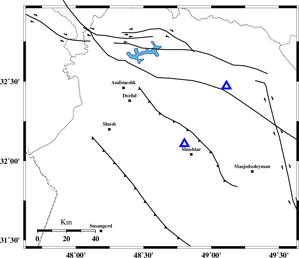
Faults within 150 km: |
|
| DEZFUL_EMBAYMENT (Length: 228 km) , Distance to epicenter: 19 km | |
| BALARUD_F_Z2 (Length: 58 km) , Distance to epicenter: 58 km | |
| MFF2 (Length: 205 km) , Distance to epicenter: 62 km | |
| Number of Phases | 4 |
| RMS | 0.1 |
| Number of Stations | 3 |
| Error in Latitude | >4.1 km |
| Error in Longitude | 12.8 km |
| Error in Depth | 7.7 km |
Download waveform in seisan format
to download seisan software Click here
to access information about IIEES stations Click here
Amplitude | ||||||||
| UID | Agency | Station | Component | Amplitude | Period | Arrival Time | Proccessing Time | Signal Clip |
| 95549 | IIEES | SHGR | E | 3675.2 | 0.16 | 2015-05-01 00:40:41 | 2015-05-01 03:31:00 | n |
| 95550 | IIEES | ASAO | N | 4.7 | 0.44 | 2015-05-01 00:42:02 | 2015-05-01 03:31:00 | n |
Phase | ||||||||||||
| Agency | Station | Component | Phase Type | Phase Quality | First Motion | Observed Arrival Time | Time Residual | Loc. Flag | Input Weight | Distance | Azimuth | |
| IIEES | SHGR | Z | Pg | E | 2015-05-01 00:40:37 | -0.11 | y | 20.2 | 125 | |||
| IIEES | SHGR | N | Sg | E | 2015-05-01 00:40:41 | 0.08 | y | 20.2 | 125 | |||
| IIEES | KHMZ | Z | Pg | E | 2015-05-01 00:41:08 | -0.12 | y | 211 | 36 | |||
| IIEES | ASAO | Z | Pn | E | 2015-05-01 00:41:17 | 0.16 | y | 290 | 26 | |||