
Magnitude |
:3.4 |
| Date & Time (UTC) | 2015-04-23 13:32:47.2 |
| Date & Time (Local) | 1394/2/3 18:02:47.2 |
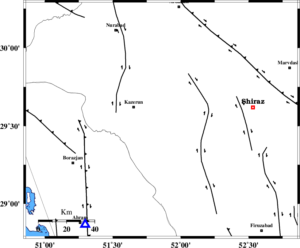
| Location | Lat:29.54 Lon: 51.86 |
| Region | Fars Province, 22 km East of Kazerun |
Nearest Cities |
|
| 5 km of Kalani, Fars Province | |
| 19 km East of Mehranjan, Fars Province | |
| 22 km East of Kazerun, Fars Province | |
| 24 km North of Dadin-e olia, Fars Province | |
| 30 km North West of Richi, Fars Province | |
| Depth | 6 km |
| Agency | |
Faults within 150 km: |
|
| KAREBASS_F (Length: 98 km) , Distance to epicenter: 32 km | |
| KAZERUN_F (Length: 96 km) , Distance to epicenter: 33 km | |
| SABZ_PUSHAN_F_Z3 (Length: 37 km) , Distance to epicenter: 56 km | |
| Number of Phases | 5 |
| RMS | 0 |
| Number of Stations | 4 |
| Error in Latitude | >5.1 km |
| Error in Longitude | 5.1 km |
| Error in Depth | 12 km |
Download waveform in seisan format
to download seisan software Click here
to access information about IIEES stations Click here
Amplitude | ||||||||
| UID | Agency | Station | Component | Amplitude | Period | Arrival Time | Proccessing Time | Signal Clip |
| 95504 | IIEES | AHRM | N | 1326.8 | 0.28 | 2015-04-23 13:33:22 | 2015-04-23 02:00:00 | n |
| 95505 | IIEES | AHRM | E | 1456.9 | 0.4 | 2015-04-23 13:33:22 | 2015-04-23 02:00:00 | n |
Phase | ||||||||||||
| Agency | Station | Component | Phase Type | Phase Quality | First Motion | Observed Arrival Time | Time Residual | Loc. Flag | Input Weight | Distance | Azimuth | |
| IIEES | AHRM | Z | Pg | E | 2015-04-23 13:33:03 | 0.01 | y | 92.8 | 217 | |||
| IIEES | AHRM | N | Sg | E | 2015-04-23 13:33:15 | -0.01 | y | 92.8 | 217 | |||
| IIEES | NASN | Z | Pn | E | 2015-04-23 13:33:42 | -0.08 | y | 372 | 14 | |||
| IIEES | YZKH | Z | Pn | E | 2015-04-23 13:33:46 | 0.04 | y | 410 | 39 | |||
| IIEES | ASAO | Z | Pn | E | 2015-04-23 13:34:08 | 0.06 | y | 582 | 343 | |||