
Magnitude |
:3.8 |
| Date & Time (UTC) | 2015-04-21 22:49:37.8 |
| Date & Time (Local) | 1394/2/2 03:19:37.8 |
| Location | Lat:31.05 Lon: 50.41 |
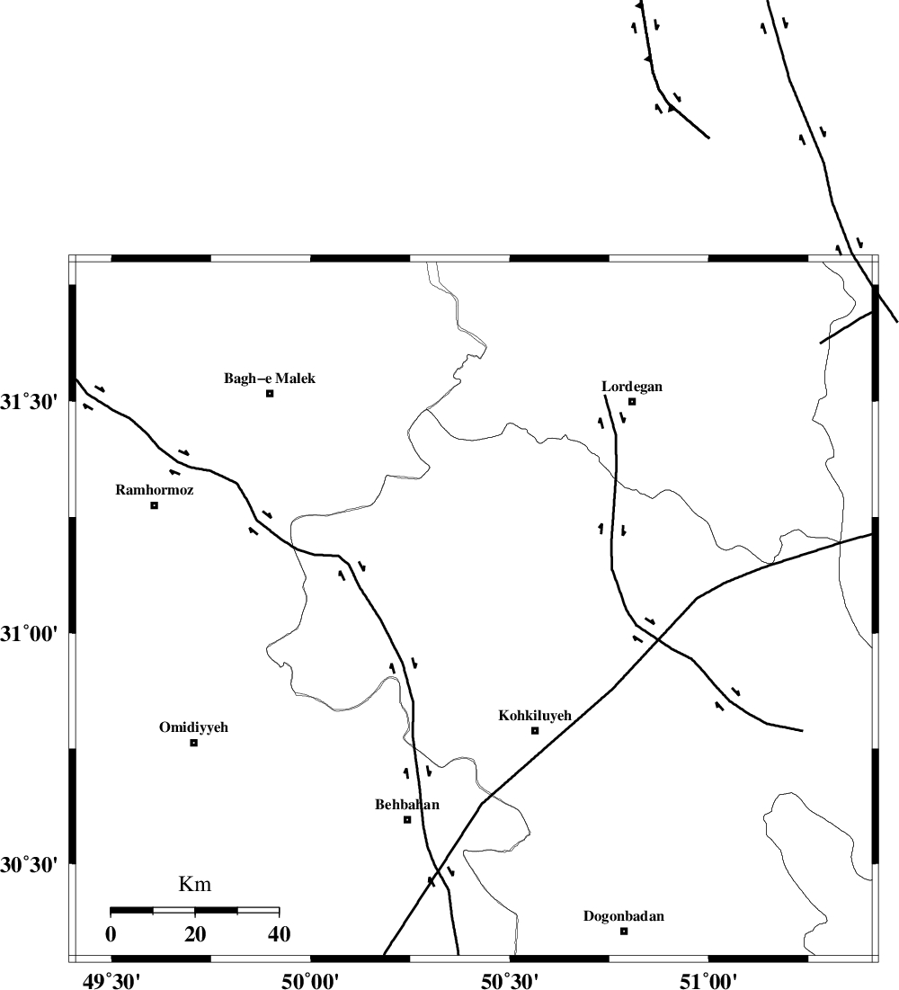
| Region | Kohkiluieh va boyerahmad Province, 33 km North-West of Dehdasht |
Nearest Cities |
|
| 8 km North of Lendeh, Kohkiluieh va boyerahmad Province | |
| 16 km South of Qale-ye raiesi, Kohkiluieh va boyerahmad Province | |
| 27 km South of Dishmuk, Kohkiluieh va boyerahmad Province | |
| 28 km South East of Esfandan, Kohkiluieh va boyerahmad Province | |
| 33 km North West of Dehdasht, Kohkiluieh va boyerahmad Province | |
| Depth | 14 km |
| Agency | |
Faults within 150 km: |
|
| MFF4 (Length: 62 km) , Distance to epicenter: 26 km | |
| MFF2 (Length: 205 km) , Distance to epicenter: 32 km | |
| DEZFUL_EMBAYMENT (Length: 228 km) , Distance to epicenter: 55 km | |
| Number of Phases | 6 |
| RMS | 0.1 |
| Number of Stations | 6 |
| Error in Latitude | >1.7 km |
| Error in Longitude | 3.6 km |
| Error in Depth | 6.3 km |
Download waveform in seisan format
to download seisan software Click here
to access information about IIEES stations Click here
Amplitude | ||||||||
| UID | Agency | Station | Component | Amplitude | Period | Arrival Time | Proccessing Time | Signal Clip |
| 95492 | IIEES | SHGR | E | 805.7 | 0.48 | 2015-04-21 22:50:41 | 2015-04-21 11:35:00 | n |
| 95493 | IIEES | SHGR | N | 1012.1 | 0.52 | 2015-04-21 22:50:43 | 2015-04-21 11:35:00 | n |
Phase | ||||||||||||
| Agency | Station | Component | Phase Type | Phase Quality | First Motion | Observed Arrival Time | Time Residual | Loc. Flag | Input Weight | Distance | Azimuth | |
| IIEES | SHGR | Z | Pg | E | 2015-04-21 22:50:09 | -0.01 | y | 192 | 308 | |||
| IIEES | AHRM | Z | Pn | E | 2015-04-21 22:50:17 | 0.02 | y | 257 | 160 | |||
| IIEES | NASN | Z | Pn | E | 2015-04-21 22:50:23 | 0.09 | y | 299 | 49 | |||
| IIEES | KHMZ | Z | Pn | E | 2015-04-21 22:50:23 | 0.03 | y | 301 | 352 | |||
| IIEES | ASAO | Z | Pn | E | 2015-04-21 22:50:34 | -0.03 | y | 390 | 355 | |||
| IIEES | YZKH | Z | Pn | E | 2015-04-21 22:50:38 | -0.13 | y | 423 | 68 | |||