
Magnitude |
:2.6 |
| Date & Time (UTC) | 2015-04-11 04:39:43.5 |
| Date & Time (Local) | 1394/1/22 09:09:43.5 |
| Location | Lat:34.3 Lon: 46.86 |
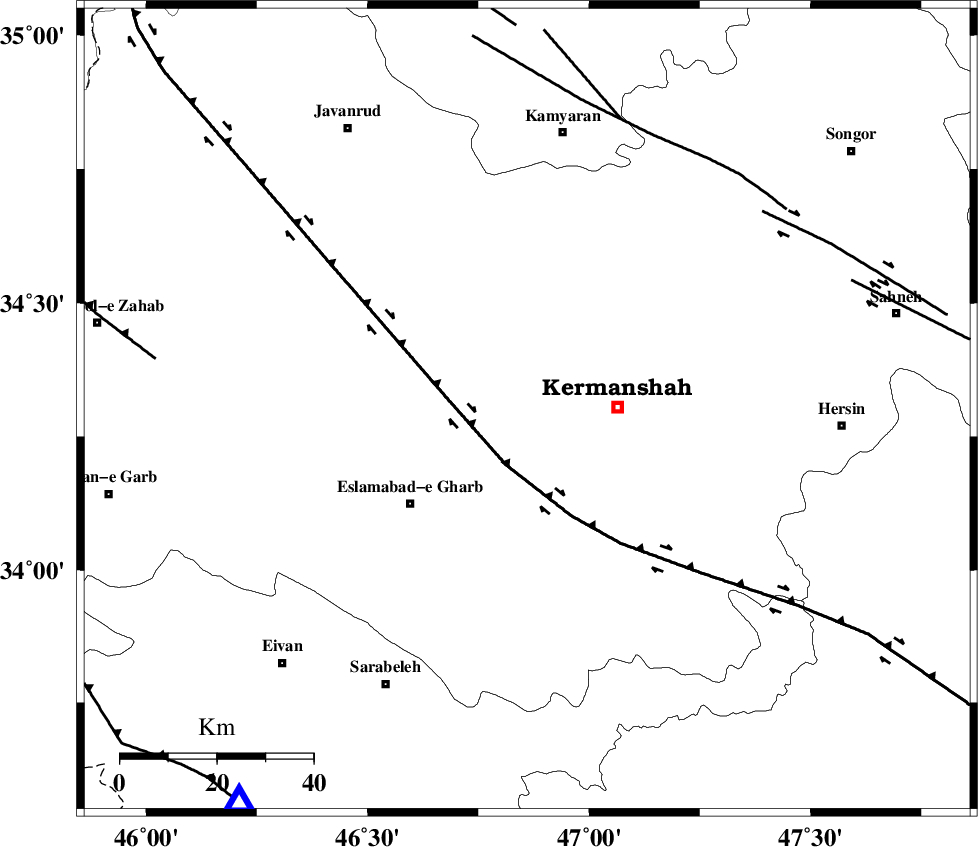
| Region | Kermanshah Province, 19 km West of Kermanshah |
Nearest Cities |
|
| 5 km North of Rebat, Kermanshah Province | |
| 14 km East of Chaqanarges, Kermanshah Province | |
| 15 km North of Helshi, Kermanshah Province | |
| 19 km West of Kermanshah, Kermanshah Province | |
| 21 km North East of Hasanabad, Kermanshah Province | |
| Depth | 14 km |
| Agency | |
Faults within 150 km: |
|
| HZF4 (Length: 492 km) , Distance to epicenter: 12 km | |
| SARTAKHT_F (Length: 78 km) , Distance to epicenter: 63 km | |
| MORVARID_F (Length: 24 km) , Distance to epicenter: 63 km | |
| Number of Phases | 5 |
| RMS | 0.1 |
| Number of Stations | 3 |
| Error in Latitude | >3.8 km |
| Error in Longitude | 4.8 km |
| Error in Depth | 7.6 km |
Download waveform in seisan format
to download seisan software Click here
to access information about IIEES stations Click here
Amplitude | ||||||||
| UID | Agency | Station | Component | Amplitude | Period | Arrival Time | Proccessing Time | Signal Clip |
| 95401 | IIEES | SNGE | N | 191.3 | 0.29 | 2015-04-11 04:40:17 | 2015-04-11 05:05:00 | n |
| 95402 | IIEES | ASAO | E | 31.5 | 0.84 | 2015-04-11 04:41:19 | 2015-04-11 05:05:00 | n |
Phase | ||||||||||||
| Agency | Station | Component | Phase Type | Phase Quality | First Motion | Observed Arrival Time | Time Residual | Loc. Flag | Input Weight | Distance | Azimuth | |
| IIEES | SNGE | Z | Pg | E | 2015-04-11 04:40:00 | 0.01 | y | 98.3 | 27 | |||
| IIEES | SNGE | N | Sg | E | 2015-04-11 04:40:12 | -0.02 | y | 98.3 | 27 | |||
| IIEES | ASAO | Z | Pn | E | 2015-04-11 04:40:27 | 0.18 | y | 292 | 84 | |||
| IIEES | ASAO | N | Sg | E | 2015-04-11 04:41:05 | 0.01 | y | 292 | 84 | |||
| IIEES | KHMZ | Z | Pn | E | 2015-04-11 04:40:27 | -0.17 | y | 293 | 101 | |||